
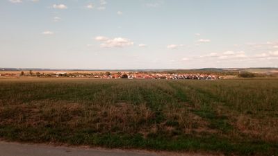
Dörlesberg, quarter of Wertheim, Baden-Württemberg, Germany
Location: Wertheim
Elevation above the sea: 294 m
Shares border with: Sachsenhausen, Reicholzheim, Külsheim, Hundheim, Sonderriet
GPS coordinates: 49.71250,9.50330
Latest update: March 12, 2025 02:44
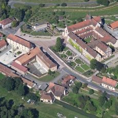
Bronnbach Abbey
2.8 km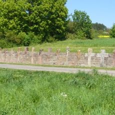
Steinkreuznest bei Reicholzheim
3 km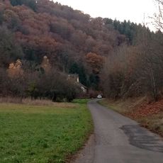
Camp ground Reicholzheim
2.5 km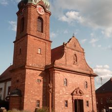
St. Dorothea
63 m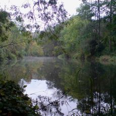
Unteres Taubertal
2.7 km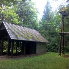
Waldkapelle
1.8 km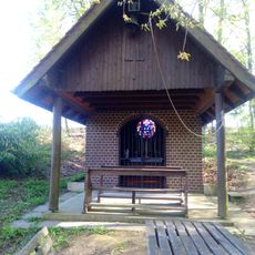
Birkenkapelle
2.9 km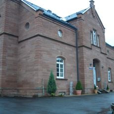
Bahnhof Reicholzheim
2.5 km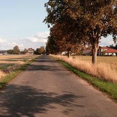
Ernsthofsiedlung
1.1 km
Ernsthof
1.6 km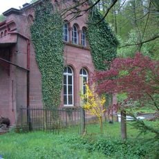
Bahnstation Bronnbach
2.9 km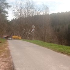
Ebenmühle
951 m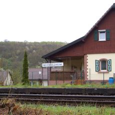
Bahnstation Reicholzheim
2.5 km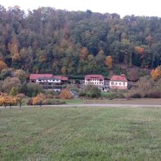
Teilbacher Mühle
2.8 km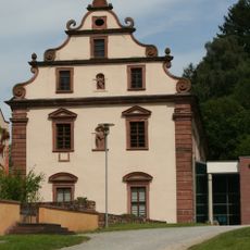
Landesarchiv Baden-Württemberg, Abt. 8. Staatsarchiv Wertheim
3.3 km
Kriegerdenkmal
2.5 km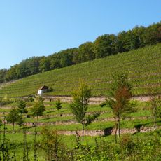
Satzenberg
2.4 km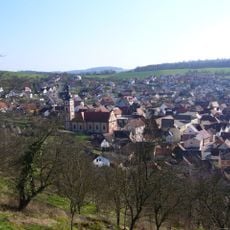
St. Georg
3 km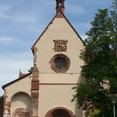
Klosterkirche Bronnbach
3.2 km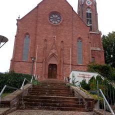
Leonhardskirche Sachsenhausen
2.4 km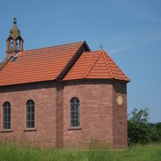
Dreifaltigkeitskapelle
3.1 km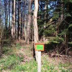
Waldlehrpfad im Waldgebiet Schönert
2.1 km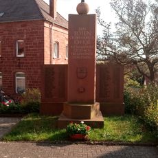
Kriegerdenkmal
85 m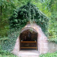
Mariengrotte
716 m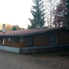
Campingplatz „Forelle“ Wertheim-Reicholzheim
2.5 km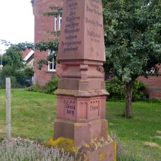
Franco-Prussian War memorial in Sachsenhausen
2.2 km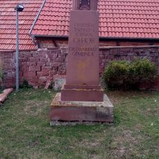
Kriegerdenkmal
2.4 km
Kriegerdenkmal
3 kmReviews
Visited this place? Tap the stars to rate it and share your experience / photos with the community! Try now! You can cancel it anytime.
Discover hidden gems everywhere you go!
From secret cafés to breathtaking viewpoints, skip the crowded tourist spots and find places that match your style. Our app makes it easy with voice search, smart filtering, route optimization, and insider tips from travelers worldwide. Download now for the complete mobile experience.

A unique approach to discovering new places❞
— Le Figaro
All the places worth exploring❞
— France Info
A tailor-made excursion in just a few clicks❞
— 20 Minutes