Enable Location

We need your location to show you interesting places around you

Discover nearby places

Find interesting locations and hidden gems around you

Precise directions

Get accurate directions and distances to places

Your location is never shared with other users. It's only used when you tap the location button.

Wertheim

Log in to your account

Start exploring — it's free

Trusted by 62,030 travelers worldwide

Continue with Google
Continue with Apple
or

We will send you a code to connect

By continuing, you accept our Terms and Conditions and our Privacy Policy

Check your inbox

We've sent a pincode in your inbox. Please enter the code below.

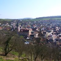
Wertheim, Medieval town at river confluence in Baden-Württemberg, Germany

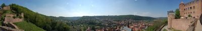
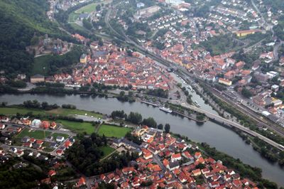
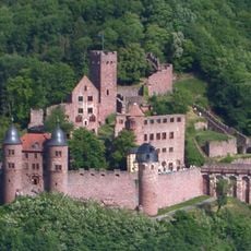
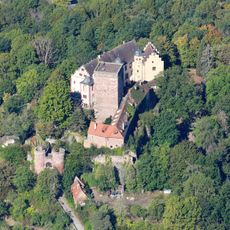
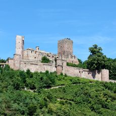
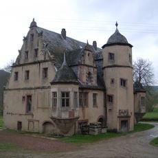
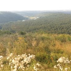
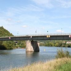
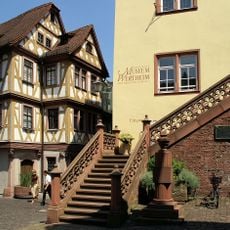
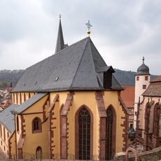
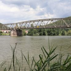
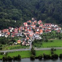
Wertheim is a town where the Tauber and Main rivers meet in the Main-Tauber-Kreis district of Baden-Württemberg. Stone bridges link different quarters while castle ruins stand on a hill above the rivers and medieval half-timbered houses below.

The settlement began between the 7th and 8th centuries at the river confluence and grew into an important trading hub. Count Eberhard gained minting rights in 1363, strengthening the economic importance of the place.

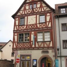
The name comes from the protected landing place where the Tauber flows into the Main, once important for river trade. Today visitors walk through the old town's narrow lanes where small shops and workshops continue traditional trades in historic half-timbered houses.

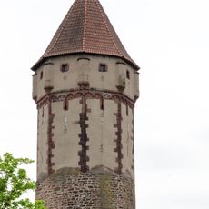
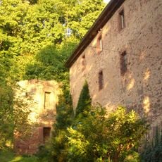
The castle ruins are about 15 minutes uphill on foot from the town center, with paths winding through narrow lanes and stairs. A restaurant serves regional dishes at the top, and the open site can be entered during daylight hours.

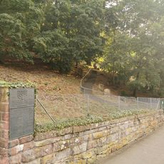
Metal plaques on house walls mark historical flood levels, showing how high the water rose during different floods. The Jewish cemetery from 1406 is among the oldest of its kind in Germany and preserves gravestones from six centuries.

The community of curious travelers

AroundUs brings together thousands of curated places, local tips, and hidden gems, enriched daily by 60,000 contributors worldwide.

Start exploring
Elevation above the sea
145 m
Shares border with
Holzkirchen, Helmstadt, Neubrunn, Werbach, Külsheim, Neunkirchen, Freudenberg, Stadtprozelten, Faulbach, Hasloch, Kreuzwertheim, Triefenstein, Dorfprozelten
GPS coordinates
49.75000,9.51667
Latest update
December 12, 2025 23:39
« Wertheim - Medieval town at river confluence in Baden-Württemberg, Germany » is provided by Around Us (aroundus.com). Images and texts are derived from Wikimedia project under a Creative Commons license. You are allowed to copy, distribute, and modify copies of this page, under the conditions set by the license, as long as this note is clearly visible.

Discover hidden gems everywhere you go!

From secret cafés to breathtaking viewpoints, skip the crowded tourist spots and find places that match your style. Our app makes it easy with voice search, smart filtering, route optimization, and insider tips from travelers worldwide. Download now for the complete mobile experience.

Around Us App Screenshot

A unique approach to discovering new places

Le Figaro

All the places worth exploring

France Info

A tailor-made excursion in just a few clicks

20 Minutes

Around Us
Travel Guide & Maps
Download

Send to your phone

QR Code
1

Open the camera app on your mobile.

2

Point at the QR code with your camera. A notification will appear.

3

Tap the notification to open the link.