
Dörrenbach, neighborhood
Location: Sankt Wendel
Elevation above the sea: 284 m
GPS coordinates: 49.43420,7.23581
Latest update: March 3, 2025 00:08

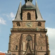
Wendalinus basilica
6 km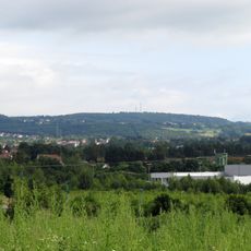
Höcherberg
4.6 km
Missionshauskirche
4.6 km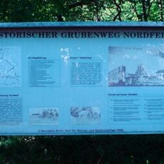
Nordfeld Consolidated Coal Mine
5.1 km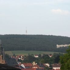
Bosenberg
5.3 km
Mary Magdalene Chapel
5.9 km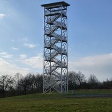
Betzelhübel Panoramic Tower
4.8 km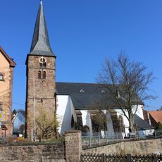
Margarethenkirche
3.8 km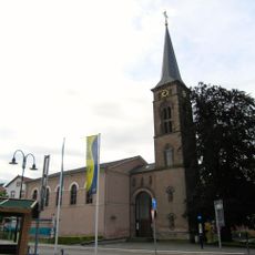
Stadtkirche (Sankt Wendel)
6 km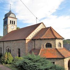
Protestantische Kirche
5.7 km
Herz-Jesu-Kirche
4.2 km
Evangelical Church
5.4 km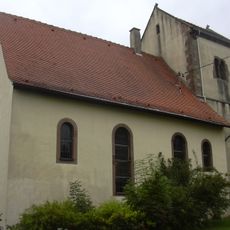
Evangelical Church
47 m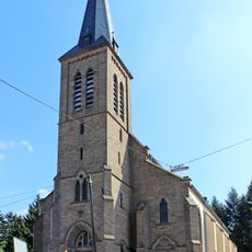
Heilige Familie
6.2 km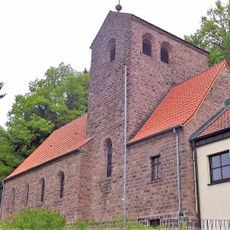
Christkönig-Kirche
6.1 km
Synagoge (St. Wendel)
6.3 km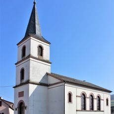
Evangelische Kirche (Werschweiler)
1.9 km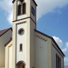
Evangelische Kirche (Hoof)
6.1 km
Mariä Geburt
5.6 km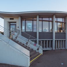
Omnibuswartehalle St. Wendel
6.2 km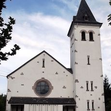
St. Michael
1.7 km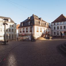
Altes Rathaus
6.1 km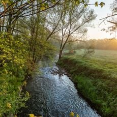
Blieswiesen Niederlinxweiler / Ottweiler
5.6 km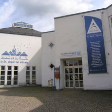
Stadt- und Kreisbibliothek St. Wendel
6.1 km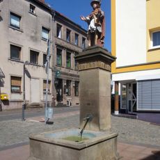
Wendalinusbrunnen
5.9 km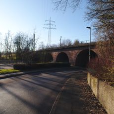
Eisenbahnbrücke
6.1 km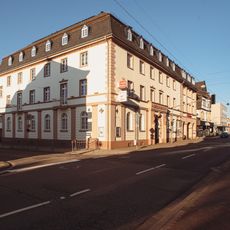
Bahnhofstraße 21-23
6.1 km
Naturschutzgebiet Ostertal zwischen Herchweiler und Marth
5.3 kmReviews
Visited this place? Tap the stars to rate it and share your experience / photos with the community! Try now! You can cancel it anytime.
Discover hidden gems everywhere you go!
From secret cafés to breathtaking viewpoints, skip the crowded tourist spots and find places that match your style. Our app makes it easy with voice search, smart filtering, route optimization, and insider tips from travelers worldwide. Download now for the complete mobile experience.

A unique approach to discovering new places❞
— Le Figaro
All the places worth exploring❞
— France Info
A tailor-made excursion in just a few clicks❞
— 20 Minutes