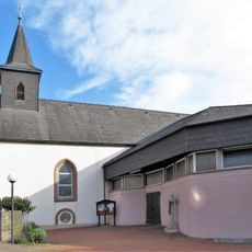
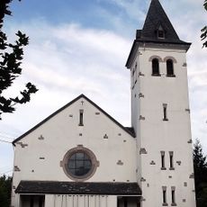
Höcherberg, Mountain summit in Saarland, Germany.
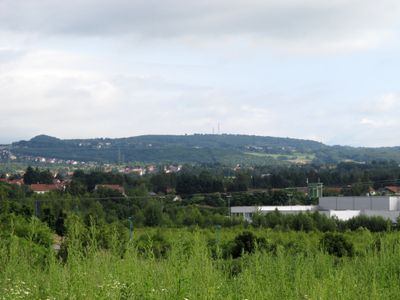
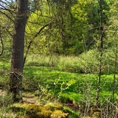
Höcherberg is a wooded mountain in Saarland that rises to 518 meters above sea level. Its landscape is shaped by forest cover on its slopes, where small streams emerge and flow downward through valleys.
The region around the mountain has a long history of coal mining, as shown by coal remnants in nearby streams. These traces connect to past mining operations that once shaped the landscape's development.
The Delattinia Nature Research Society of Saarland conducts extensive studies of flora and fauna in the Höcherberg region and maintains scientific collections.
A hiking trail of about 8 kilometers connects the mountain with nearby Stollenmundloch cave and Freiberger Brunnen spring, requiring around 2.5 hours to complete. Sturdy footwear is recommended, and visitors should be prepared for forested terrain with water sources along the way.
The northeastern side of the mountain contains a rare wetland called Nickelches Brück with boggy habitats. The sphagnum moss found there has an extraordinary ability to hold water, creating a distinctive microhabitat.
The community of curious travelers
AroundUs brings together thousands of curated places, local tips, and hidden gems, enriched daily by 60,000 contributors worldwide.