Bexbach, Urban municipality in Saarpfalz-Kreis, Germany.
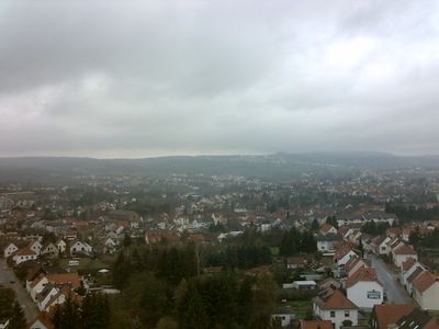
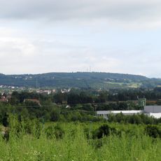
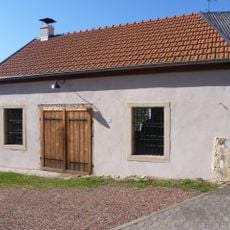
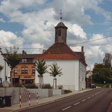
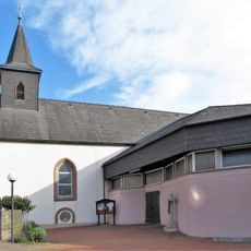
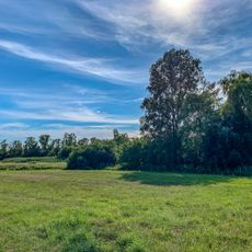
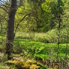
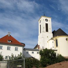
Bexbach is a municipality in Saarpfalz-Kreis that lies along the Blies river, roughly 25 kilometers northeast of Saarbrücken. The area spans around 31 square kilometers with several districts and a mix of built-up and open spaces.
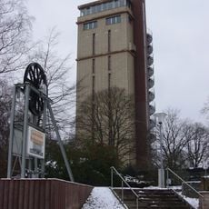
The town's history is closely linked to coal mining, which shaped the region's development for generations. The Saarland Mining Museum documents this past through exhibits that show the lives of miners and the importance of this industry.
The town once maintained partnerships with communities across Europe and North America that enabled regular visits and exchanges. These connections show how smaller places connect with one another across borders and share experiences.
The town is divided into postal code ranges from 66441 to 66450 and uses the telephone area code 06826. Visitors can find their way easily using these standard systems that apply to mail and phone services.
The town sits at roughly 249 meters elevation and forms part of the broader Saarbrücken-Neunkirchen metropolitan region. This position makes it a place that bridges between rural areas and urban centers.
Location: Saarpfalz-Kreis
Elevation above the sea: 249 m
Website: https://bexbach.de
GPS coordinates: 49.34944,7.25944
Latest update: December 20, 2025 02:14
Höcherberg
5.4 km
Saarländisches Bergbaumuseum
5 mNordfeld Consolidated Coal Mine
6.2 km
St. Martin
159 m
Protestant Church
166 m
Protestantische Kirche
4.5 km
Jakobuskirche
1.9 km
Herz-Jesu-Kirche
5.4 km
Dicke Eiche
3.1 km
Junkerhaus (Wellesweiler)
2.3 kmRunde Eiche
3.7 km
Alte Schmiede (Wellesweiler)
2.3 km
Stengelkirche
2.4 km
Mariä Geburt
4.6 km
Kühnbruch
3.2 km
Felsbachtal
3.6 km
Pfarrzentrum St. Johannes
2.2 kmGorren-Berg
4.8 kmFeilbachaue bis Hochwiesmuehle
1.5 kmWald mit eingestreuten Gruenland-Gebieten westlich und suedlich von Jaegersburg, Gruenlandbereiche noerdlich Websweiler
3.5 kmLandschaftsschutzgebiet "Wiesen bei Frankenholz und Oberbexbach" (L 6609-303)
2.4 kmGroßer Hirsch-Berg
2.5 kmBliesaue von der Kreisgrenze im Nordwesten bis zur Stadtgrenze im Suedosten
2 kmPfaffenwald bei Hoechen, Glantal
5.4 km
Rathaus
334 m
Hindenburgturm
796 mWaldgebiet und angrenzende Landschaft zwischen Bexbach und Niederbexbach
1.5 km
St. Josef
3.3 kmVisited this place? Tap the stars to rate it and share your experience / photos with the community! Try now! You can cancel it anytime.
Discover hidden gems everywhere you go!
From secret cafés to breathtaking viewpoints, skip the crowded tourist spots and find places that match your style. Our app makes it easy with voice search, smart filtering, route optimization, and insider tips from travelers worldwide. Download now for the complete mobile experience.
A unique approach to discovering new places❞
— Le Figaro
All the places worth exploring❞
— France Info
A tailor-made excursion in just a few clicks❞
— 20 Minutes