Enable Location

We need your location to show you interesting places around you

Discover nearby places

Find interesting locations and hidden gems around you

Precise directions

Get accurate directions and distances to places

Your location is never shared with other users. It's only used when you tap the location button.

Erlenstegen

Log in to your account

Start exploring — it's free

Trusted by 62,855 travelers worldwide

Continue with Google
Continue with Apple
or

We will send you a code to connect

By continuing, you accept our Terms and Conditions and our Privacy Policy

Check your inbox

We've sent a pincode in your inbox. Please enter the code below.

Erlenstegen

Erlenstegen, Statistical district in Nuremberg, Germany.

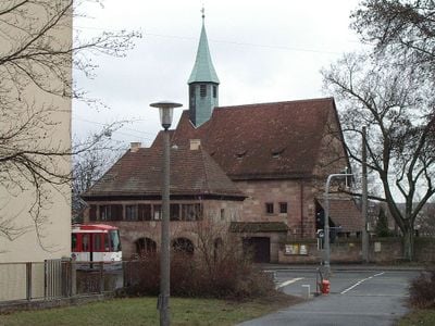
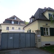
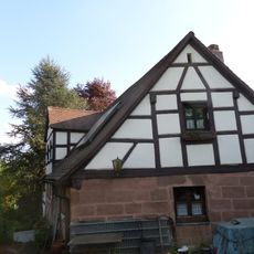
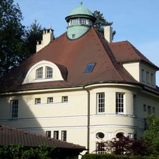
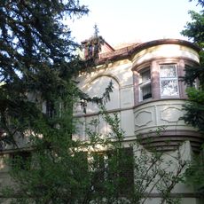
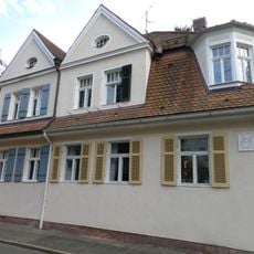
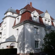
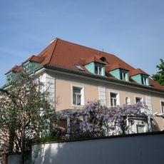
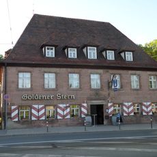
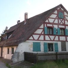
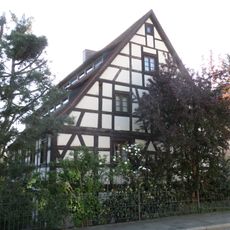
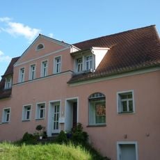
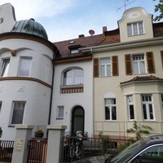
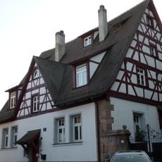
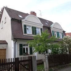
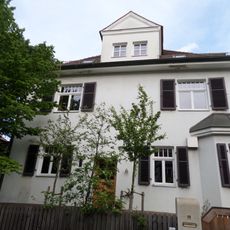
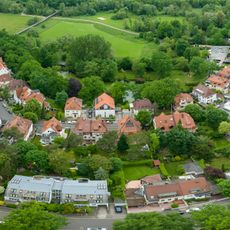
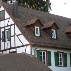
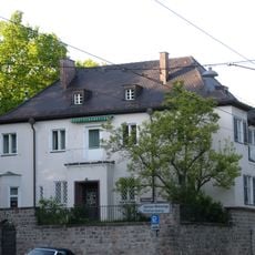
Erlenstegen is a statistical district in northern Nuremberg with a mixed pattern of modern housing developments and traditional German buildings. The area is characterized by residential streets lined with various types of homes for different household sizes.

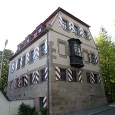
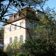
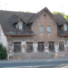
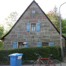
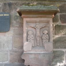
The area was originally farmland on the edge of medieval Nuremberg and transformed into an integrated neighborhood during the city's modern expansion. This shift reflects how the city grew outward from its center and created new residential areas.

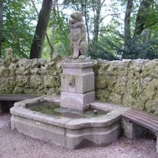
Schools and community centers anchor the neighborhood and provide spaces where residents regularly gather. These places shape how people experience daily life in this part of the city.

The district connects to central Nuremberg through reliable bus services and is easily accessible by public transportation. Walking through the neighborhood is straightforward thanks to a clear street layout and sidewalks.

Statistical data collection in Erlenstegen helps city planners monitor demographic changes and adapt urban development strategies across 87 districts of Nuremberg.

The community of curious travelers

AroundUs brings together thousands of curated places, local tips, and hidden gems, enriched daily by 60,000 contributors worldwide.

Start exploring
Location
Shares border with
Schoppershof
GPS coordinates
49.47444,11.14000
Latest update
December 10, 2025 16:27
« Erlenstegen - Statistical district in Nuremberg, Germany » is provided by Around Us (aroundus.com). Images and texts are derived from Wikimedia project under a Creative Commons license. You are allowed to copy, distribute, and modify copies of this page, under the conditions set by the license, as long as this note is clearly visible.

Discover hidden gems everywhere you go!

From secret cafés to breathtaking viewpoints, skip the crowded tourist spots and find places that match your style. Our app makes it easy with voice search, smart filtering, route optimization, and insider tips from travelers worldwide. Download now for the complete mobile experience.

Around Us App Screenshot

A unique approach to discovering new places

Le Figaro

All the places worth exploring

France Info

A tailor-made excursion in just a few clicks

20 Minutes

Around Us
Travel Guide & Maps
Download

Send to your phone

QR Code
1

Open the camera app on your mobile.

2

Point at the QR code with your camera. A notification will appear.

3

Tap the notification to open the link.