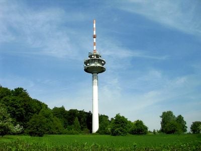
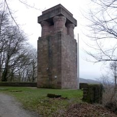
Fernmeldeturm Karlsruhe-Grünwettersbach, Communications tower in Karlsruhe, Germany.
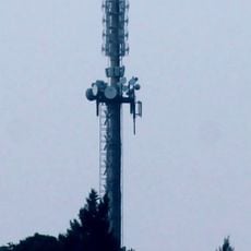
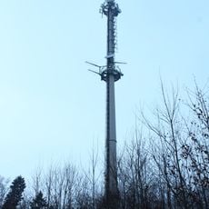
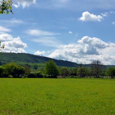
The Fernmeldeturm Karlsruhe-Grünwettersbach is a concrete transmission tower on the Edelberg that rises above the surrounding landscape and serves the region's broadcasting needs. Its standardized design has become part of the local skyline in this section of the Black Forest area.
The facility was built in 1968 and follows a standard design developed by Deutsche Bundespost for radio relay stations. This construction program allowed the country to meet the growing demands for radio and television transmission during the post-war era.
The tower functions as a central broadcasting point for Karlsruhe region, transmitting FM radio, digital audio broadcasting, and television signals to local communities.
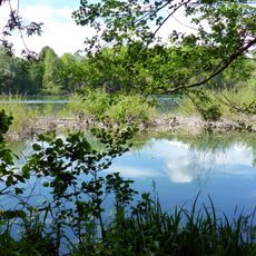
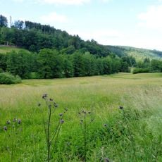
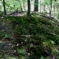
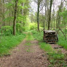
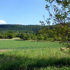
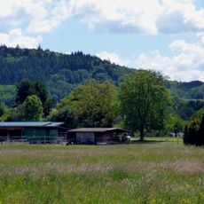
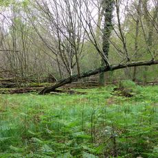
The site is not open to public visits, but the surrounding area offers numerous hiking trails through the Black Forest and nearby nature reserves. The location works well for walkers interested in exploring the terrain and enjoying views across the region.
The tower supports the European Aviation Network and provides broadband internet connectivity for aircraft passing through German airspace. This aviation technology makes it an important hub in the region's aircraft communication system.
The community of curious travelers
AroundUs brings together thousands of curated places, local tips, and hidden gems, enriched daily by 60,000 contributors worldwide.