Wilisch, Mountain summit in Glashütte, Germany
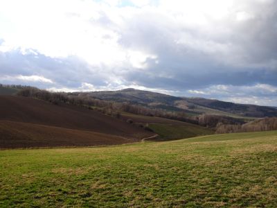
Wilisch is a mountain summit in Saxon Switzerland-East Ore Mountains with an elevation of 476 meters and steep basalt cliffs on its northwestern side. An historic quarry marks the landscape and reveals the geological nature of the peak.
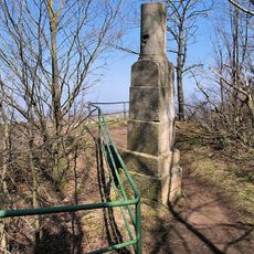
The mountain gained a beer garden in 1832 after the owner received royal permission from King Anton, opening the area to visitors. Following World War I, the summit was converted into a war memorial in 1921.
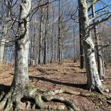
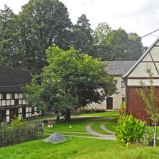
The summit has long served as a gathering place for hikers, with its appeal rooted in the tradition of rest and refreshment that spans generations. This role shaped how local people relate to the mountain and continues to influence its use today.
The summit is accessible via multiple hiking trails ranging from short routes of about 6 kilometers to longer hikes exceeding 20 kilometers. The climbs vary in difficulty, so choose your route based on your fitness level and available time.
Two iron-rich springs emerge on the northern slope, identifiable by their rust-brown coloring. These become especially visible when snow covers the ground and creates a striking contrast.
The community of curious travelers
AroundUs brings together thousands of curated places, local tips, and hidden gems, enriched daily by 60,000 contributors worldwide.