
Hüttenfeld, municipal district of Lampertheim in Kreis Bergstraße, Germany
Location: Lampertheim
Elevation above the sea: 97 m
GPS coordinates: 49.60000,8.58333
Latest update: March 16, 2025 15:57
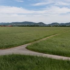
Weschnitz-Insel von Lorsch
3.9 km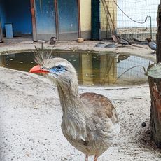
Vogelpark Viernheim
5.4 km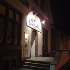
Brennessel
5.3 km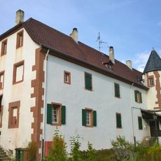
Schloss Neuschloß
4.8 km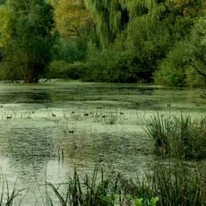
Rohrwiesen und Gänswiesen
5 km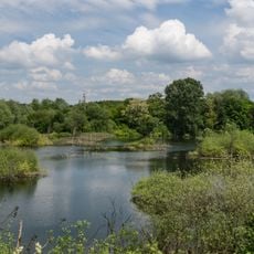
Naturschutzgebiet Oberlücke von Viernheim
5.8 km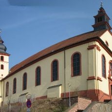
St.-Laurentius-Kirche
5.4 km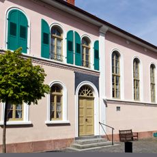
Synagoge
5.4 km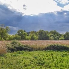
Hinterer Bruch südlich Heppenheim
4.7 km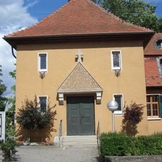
Gustav-Adolf-Church
656 m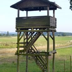
Hans-Ludwig-Turm
4.3 km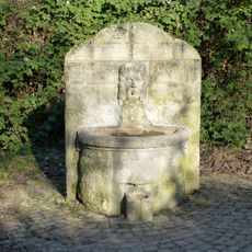
Gute-Zeit-böse-Zeit-Brunnen
5.8 km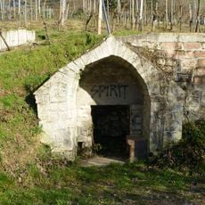
Krötenbrunnen
5.8 km
Reliktwald Lampertheim und Sandrasen untere Wildbahn
2.3 km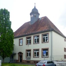
Seehofschule
306 m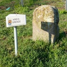
Geleitstein
5.2 km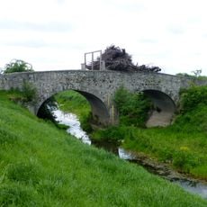
Alte Postbrücke
3.4 km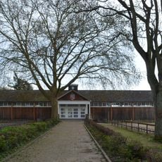
Schwimmbad Heppenheim
5.7 km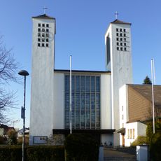
Kath. Pfarrkirche Erscheinung des Herrn
5.4 km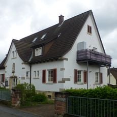
Kindergarten
5.3 km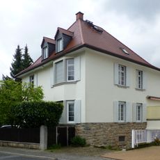
Haus Hagenstraße 2
5.8 km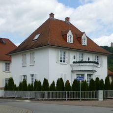
Haus Hagenstraße 4
5.8 km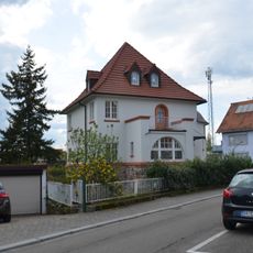
Haus Walther-Rathenau-Straße 32
5.8 km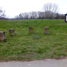
District stones at Weschnitz river
5.1 km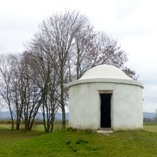
Hirtenhaus 'Bruchhäusel'
2.5 km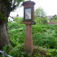
Bildstock
5.2 km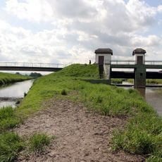
Weschnitzinsel von Lorsch
3.7 km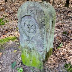
Grenzsteinreihe
5.8 kmReviews
Visited this place? Tap the stars to rate it and share your experience / photos with the community! Try now! You can cancel it anytime.
Discover hidden gems everywhere you go!
From secret cafés to breathtaking viewpoints, skip the crowded tourist spots and find places that match your style. Our app makes it easy with voice search, smart filtering, route optimization, and insider tips from travelers worldwide. Download now for the complete mobile experience.

A unique approach to discovering new places❞
— Le Figaro
All the places worth exploring❞
— France Info
A tailor-made excursion in just a few clicks❞
— 20 Minutes