
Vilkerath, human settlement in Germany
Location: Overath
Elevation above the sea: 107 m
GPS coordinates: 50.96140,7.31861
Latest update: March 10, 2025 00:55
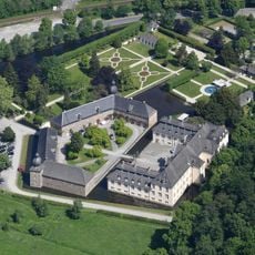
Ehreshoven Castle
2.3 km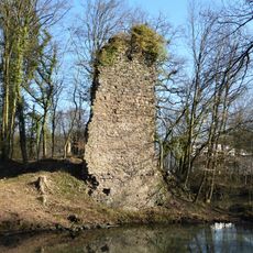
Großbernsau Castle
2.4 km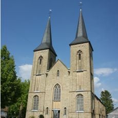
St. Mariä Heimsuchung
3.2 km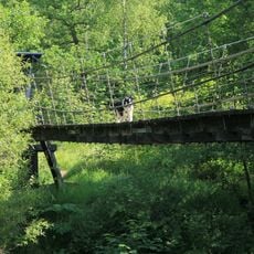
Hängebrücke Kastor
2.7 km
Obersteeg
4.4 km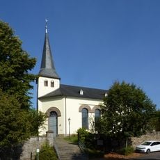
St. Laurentius
2.1 km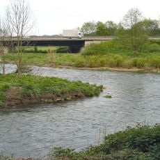
Agger
2.3 km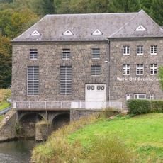
Elektrizitätswerk Grünscheid
4.6 km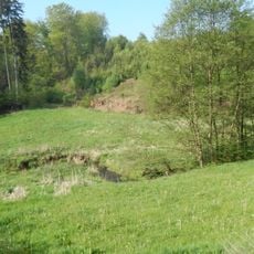
Schlingenbachtal
3.1 km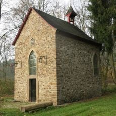
Kreuzkapelle
2.6 km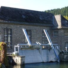
Elektrizitätswerk Ehreshoven I
2.6 km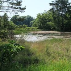
Grube Kastor
2.7 km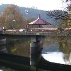
Aggerbrücke
3.9 km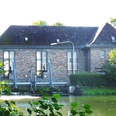
Elektrizitätswerk Ehreshoven II
851 m
Bochmühle
724 m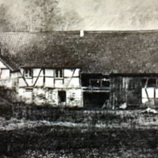
Lombachsmühle
2.3 km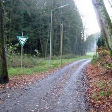
Lehmichsbachtal
1.5 km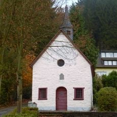
Rochuskapelle
4.1 km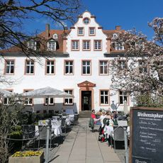
Golfclub Schloss Georghausen
4.8 km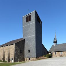
St. Sebastian (Schmitzhöhe)
4 km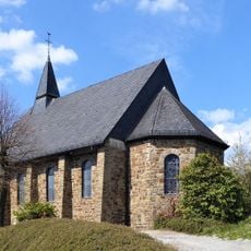
Church St. Michael
4.5 km
Evangelisches Paul-Schneider-Gemeindezentrum (Schmitzhöhe )
4 km
Schlosswald Ehreshoven
2.4 km
Loopetalbrücke
4.2 km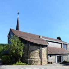
Sacred Heart Church
3.6 km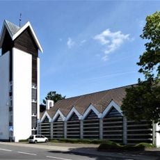
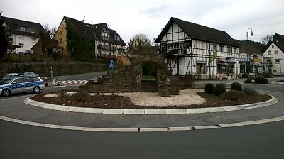
Kirche Maria Hilf (Vilkerath)
65 m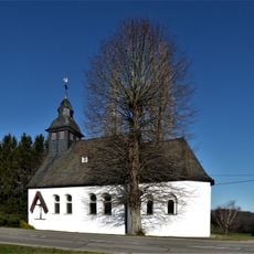
St Anthony's Chapel
4.5 km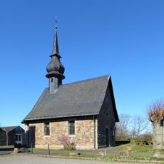
Kapelle St. Rochus (Schmitzhöhe)
4 kmReviews
Visited this place? Tap the stars to rate it and share your experience / photos with the community! Try now! You can cancel it anytime.
Discover hidden gems everywhere you go!
From secret cafés to breathtaking viewpoints, skip the crowded tourist spots and find places that match your style. Our app makes it easy with voice search, smart filtering, route optimization, and insider tips from travelers worldwide. Download now for the complete mobile experience.

A unique approach to discovering new places❞
— Le Figaro
All the places worth exploring❞
— France Info
A tailor-made excursion in just a few clicks❞
— 20 Minutes