
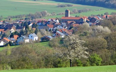
Ormesheim, human settlement in Germany
Location: Mandelbachtal
Elevation above the sea: 301 m
GPS coordinates: 49.19694,7.14250
Latest update: March 16, 2025 20:41
Kloster Gräfinthal
4.4 km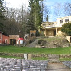
Naturbühne Gräfinthal
4 km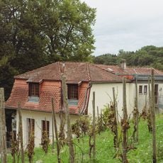
Haus Lochfeld
1.9 km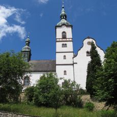
St. Peter
2.5 km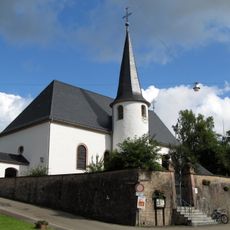
St. Margaretha
3.7 km
St. Mauritius
162 m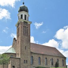
St. Laurentius
3.2 km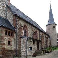
St. Mauritius
3.3 km
Mariä Heimsuchung
2.8 km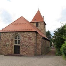
St. Josef
3.7 km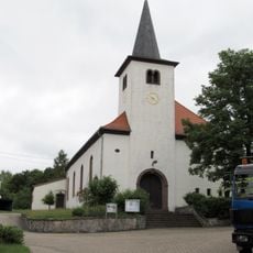
St. Remigius
2.2 km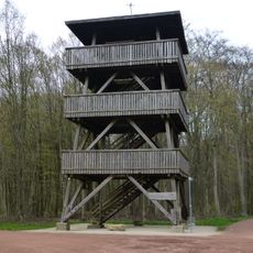
Heidenkopf-Tower
2.6 km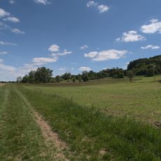
Beierwies
4.2 km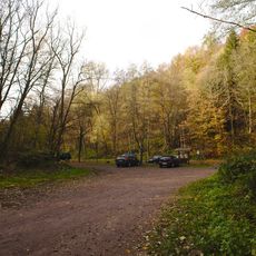
Ensheim Wells Path
4.3 km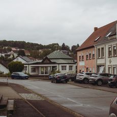
Kreuzkirche
163 m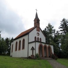
Josefskapelle
3.6 km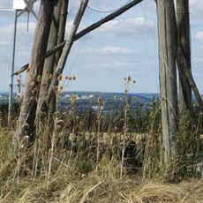
Ransbacher Berg (Gemeindewald Fechingen)
4.9 km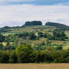
Gebberg
4.6 km
Muschelkalkgebiet bei Gersheim und Blieskastel
4.3 km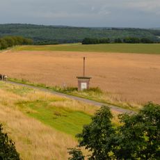
Optischer Telegraph
2.6 km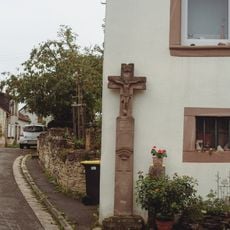
Wegkreuz Auf dem Hüwel 15
2.5 km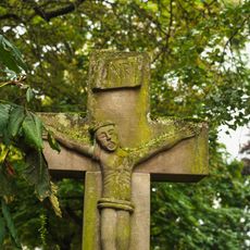
Wayside cross Unterstraße 3
31 m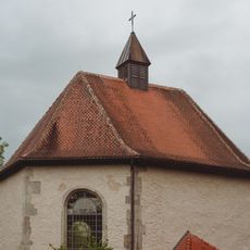
Kapelle Gräfinthal
4.4 km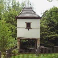
Taubenhaus
4.3 km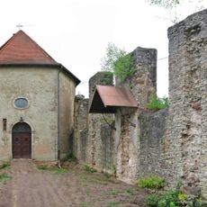
Ruine der Klosterkirche
4.4 km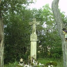
Brudermannsklause
4 km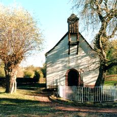
Wendalinuskapelle
4.6 km
Hochbehälter Hölschberg
4.1 kmReviews
Visited this place? Tap the stars to rate it and share your experience / photos with the community! Try now! You can cancel it anytime.
Discover hidden gems everywhere you go!
From secret cafés to breathtaking viewpoints, skip the crowded tourist spots and find places that match your style. Our app makes it easy with voice search, smart filtering, route optimization, and insider tips from travelers worldwide. Download now for the complete mobile experience.

A unique approach to discovering new places❞
— Le Figaro
All the places worth exploring❞
— France Info
A tailor-made excursion in just a few clicks❞
— 20 Minutes