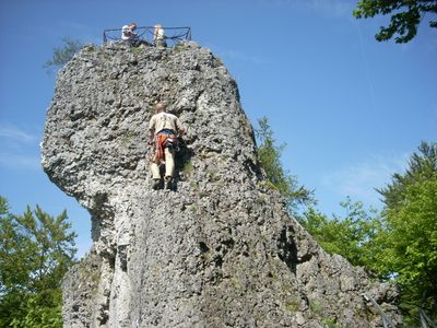
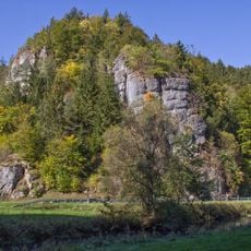
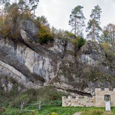
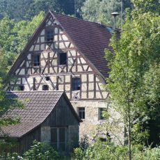
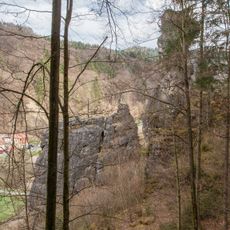
Signalstein, Scenic viewpoint and cliff in Fränkische Schweiz, Germany
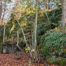
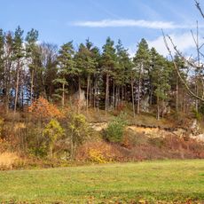
Signalstein is a cliff in Franconian Switzerland that rises to about 582 meters and offers views across the entire region with limestone formations and green valleys below. The vista stretches over several kilometers and reveals the distinctive landscape character of this area.
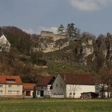
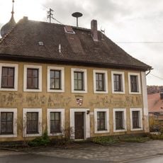
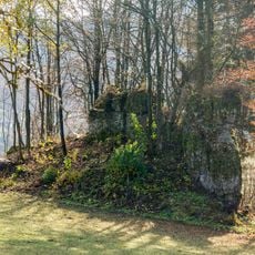
In medieval times this location served as a communication point between several castles in the region, with fire signals passing information between Leienfels, Bärnfels, Obertrubach and other stations. This signal network continued working until the 19th century, when newer communication methods made this method obsolete.
The name Signalstein comes from its historical role as a signal point, and today visitors can see the wide landscape of Franconian Switzerland with its characteristic limestone formations spread below. People hike here to enjoy the view and experience this location's special position in the region.
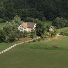
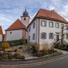
The best approach is from the parking area at the northern edge of Sorg, where a hiking path leads to the cliff top. Good hiking boots are recommended, as the path is partly steep and has uneven ground.
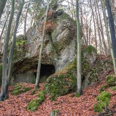
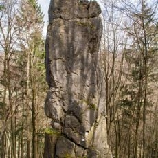
Climbing enthusiasts use this location for sport climbing, while the summit remains accessible to hikers with less experience. The combination of active recreation and a historical hiking path creates a unique mix of different ways to enjoy the place.
The community of curious travelers
AroundUs brings together thousands of curated places, local tips, and hidden gems, enriched daily by 60,000 contributors worldwide.