
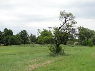
Wilschdorf-Rähnitzer Sandhügelland, protected landscape in Sachsen, Germany
Location: Dresden
Inception: 1998
GPS coordinates: 51.13030,13.72740
Latest update: March 8, 2025 12:12
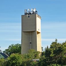
Wasserturm Hellerau
2.2 km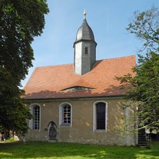
Christophoruskirche
977 m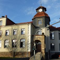
Kurfürst-Moritz-Schule Boxdorf
2.4 km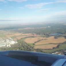
Oberer Waldteich
1.4 km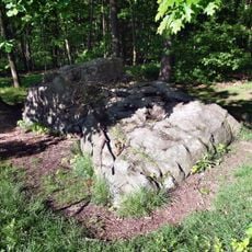
Oltersteine
2.3 km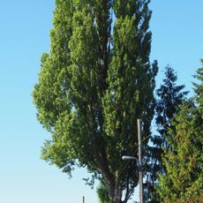
Säulen-Pappel Leeraue 10
1.3 km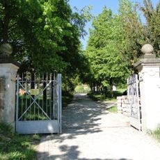
Villa Waldhof
2.2 km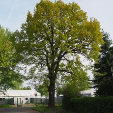
Stiel-Eiche Marsdorfer Straße
2.5 km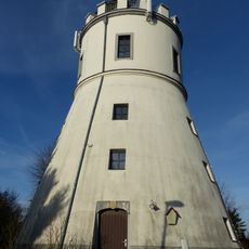
Windmühle Boxdorf
2.5 km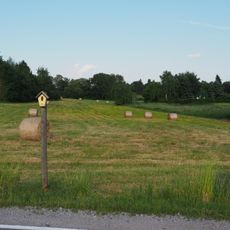
Feuchtwiese am Lößnitzweg
1.9 km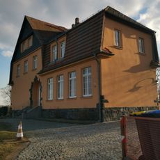
Radeburger Straße 1, Schule
1.8 km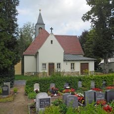
Rähnitzer Kirche
1.5 km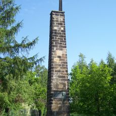
Rähnitzer Säule
1.7 km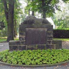
Kriegerdenkmal
1.5 km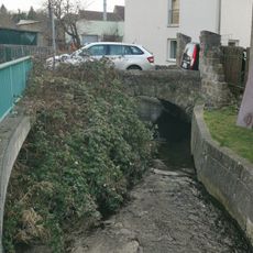
Brücke über die Promnitz
2.2 km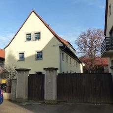
Wohnstallhaus und Scheune eines Bauernhofes sowie separater Keller Hauptstraße 27
2.2 km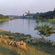
Elbtal zwischen Schöna und Mühlberg
521 m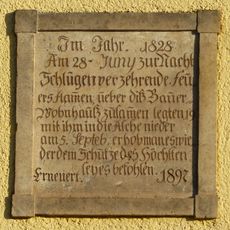
Erinnerungstafel am Giebel eines Bauernhauses Bebelplatz 23
2.2 km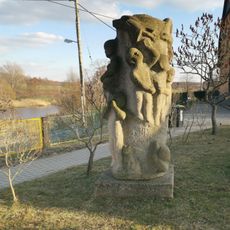
Skulptur Kinder
1.8 km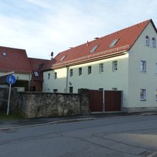
Bauernhof mit Wohnstallhaus, winkelförmig angebauter Scheune und Hofmauer Hauptstraße 12
2.3 km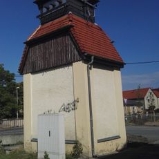
Transformatorenstation Volkersdorf
2.2 km
Reliefwand Schweineaufzucht
499 m
Bauernhof mit Ausgedingehaus Hauptstraße 22
2.3 km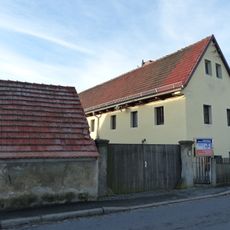
Bauernhof mit Wohnstallhaus, Scheune und Seitengebäude Hauptstraße 6
2.4 km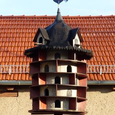
Taubenhaus Hauptstraße 5
2.3 km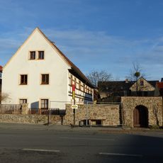
Wohnstallhaus, Seitengebäude (Auszugshaus) und Hofmauer mit Pforte eines Bauernhofes Bebelplatz 17
2.2 km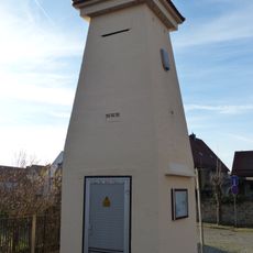
Transformatorenturm Bebelplatz -
2.2 km
Radeburger Straße 6, Mauer
2 kmVisited this place? Tap the stars to rate it and share your experience / photos with the community! Try now! You can cancel it anytime.
Discover hidden gems everywhere you go!
From secret cafés to breathtaking viewpoints, skip the crowded tourist spots and find places that match your style. Our app makes it easy with voice search, smart filtering, route optimization, and insider tips from travelers worldwide. Download now for the complete mobile experience.

A unique approach to discovering new places❞
— Le Figaro
All the places worth exploring❞
— France Info
A tailor-made excursion in just a few clicks❞
— 20 Minutes