
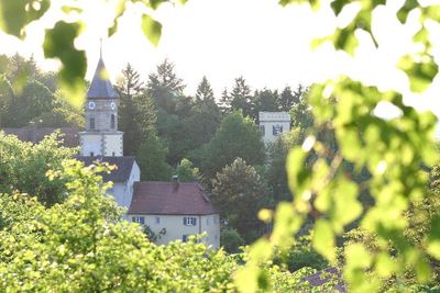
Geyern, human settlement in Germany
Location: Bergen
Elevation above the sea: 536 m
GPS coordinates: 49.07179,11.08709
Latest update: March 23, 2025 14:10
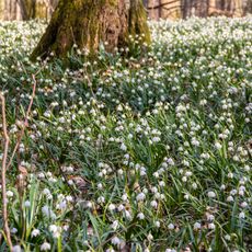
Märzenbecherwald bei Ettenstadt
2 km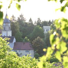
Schloss Geyern
257 m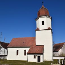
St. Nikolaus
1.8 km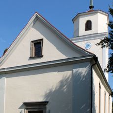
St. Johannis
2.4 km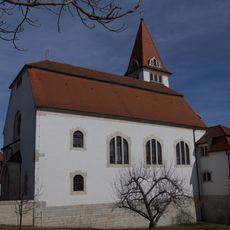
St. Nikolaus (Pfraunfeld)
1.5 km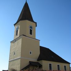
St. Georg
2 km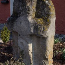
Kreuzstein
2.4 km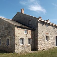
Wohnstallhaus
1.7 km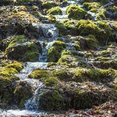
Junge Steinerne Rinne bei Rohrbach
3.5 km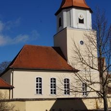
St. Marien
1.9 km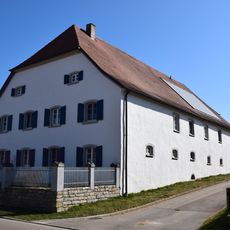
Wasserscheidehaus
77 m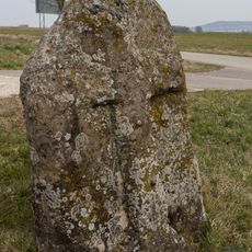
Steinkreuz
2.8 km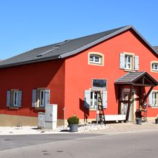
Bergener Straße 5
38 m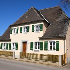
Forsthaus
98 m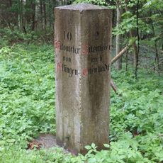
Bayrischer Kilometerstein
373 m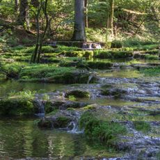
Trauf der südlichen Frankenalb
3.4 km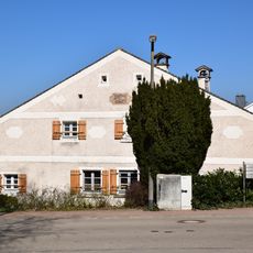
Wohnstallhaus, Nr. 20
1.8 km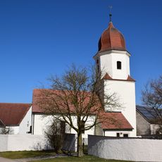
Friedhofsmauer Kaltenbuch 25; Kaltenbuch 27 in Bergen (Mittelfranken)
1.8 km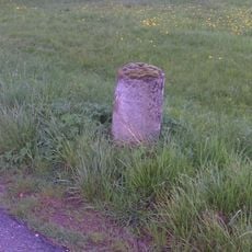
Bayrische Stundensäule I
543 m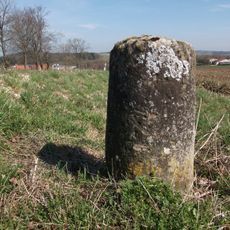
Bayrische Stundensäule II
464 m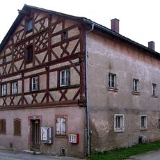
Ehemaliges Gasthaus
1.9 km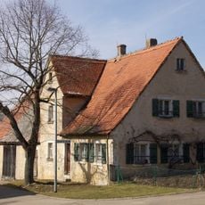
Wohnstallhaus
2.6 km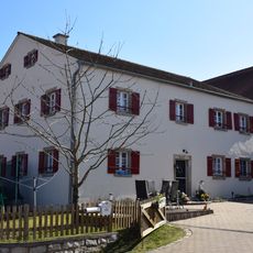
Bauernhaus
1.9 km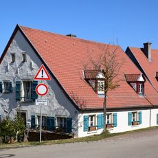
Wohnstallhaus mit Nebengebäude, Nr. 28
1.9 km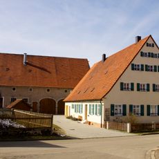
Bauernhaus eines Dreiseithofes
2.6 km
Wirtschaftsgebäude Bergener Straße 4 in Bergen (Mittelfranken)
97 m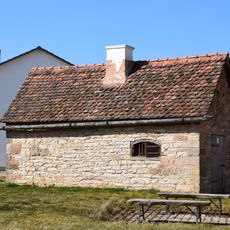
Backhaus Bergener Straße 4 in Bergen (Mittelfranken)
93 m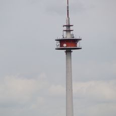
Fernmeldeturm Burgsalach
3 kmReviews
Visited this place? Tap the stars to rate it and share your experience / photos with the community! Try now! You can cancel it anytime.
Discover hidden gems everywhere you go!
From secret cafés to breathtaking viewpoints, skip the crowded tourist spots and find places that match your style. Our app makes it easy with voice search, smart filtering, route optimization, and insider tips from travelers worldwide. Download now for the complete mobile experience.

A unique approach to discovering new places❞
— Le Figaro
All the places worth exploring❞
— France Info
A tailor-made excursion in just a few clicks❞
— 20 Minutes