
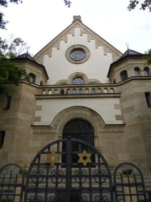
Synagogue, synagogue in Straubing, Lower Bavaria, Germany
Location: Straubing
Address: Wittelsbacherstraße 11
GPS coordinates: 48.87898,12.56854
Latest update: March 3, 2025 20:55
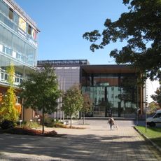
Wissenschaftszentrum Straubing
165 m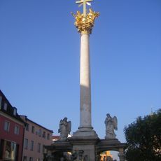
Dreifaltigkeitssäule
297 m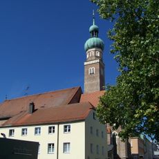
St. Veit (Straubing)
189 m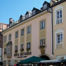
Straubing-Hotel-Seethaler
276 m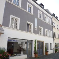
Ehemaliges Handwerkerhaus
200 m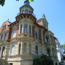
Max-Gerhaher-Straße 10
210 m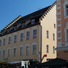
Theresienplatz 11
263 m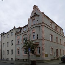
Wittelsbacherstraße 16
62 m
Rosengasse 14
261 m
Max-Gerhaher-Straße 2 und 4 (Straubing)
252 m
Theresienplatz 1
293 m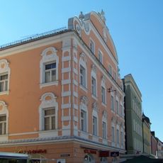
Theresienplatz 15
266 m
Obere Bachstraße 30
132 m
Am Platzl 15
173 m
Theresienplatz 37
284 m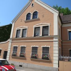
Viereckmühlstraße 19 (Straubing)
267 m
Theresienplatz 7
282 m
Wittelsbacherstraße 12
50 m
Wittelsbacherstraße 13
28 m
Marienheim, Altenheim
52 m
Ehemaliges Handwerkerhaus
238 m
Wohn- und Geschäftshaus Rosengasse 8 in Straubing
239 m
Ehemaliger Stadtpalast
287 m
Bankhaus
143 m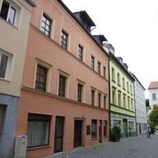
Wohnhaus
217 m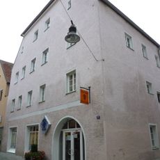
Wohnhaus
222 m
Max-Gerhaher-Straße 6 und 8
227 m
Stadtgraben 54
292 mReviews
Visited this place? Tap the stars to rate it and share your experience / photos with the community! Try now! You can cancel it anytime.
Discover hidden gems everywhere you go!
From secret cafés to breathtaking viewpoints, skip the crowded tourist spots and find places that match your style. Our app makes it easy with voice search, smart filtering, route optimization, and insider tips from travelers worldwide. Download now for the complete mobile experience.

A unique approach to discovering new places❞
— Le Figaro
All the places worth exploring❞
— France Info
A tailor-made excursion in just a few clicks❞
— 20 Minutes