
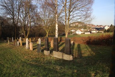
Jüdischer Friedhof Lollar, Friedhof in Lollar im Landkreis Gießen in Hessen
Location: Lollar
Address: Das Wäldchen
GPS coordinates: 50.65889,8.71750
Latest update: April 1, 2025 03:03
Staufenberg Castle
1 km
Lollar station
1.7 km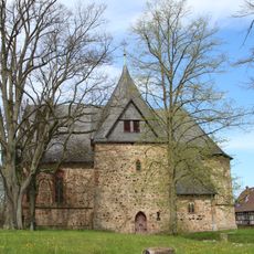
Evangelische Kirche Kirchberg
302 m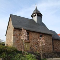
Mainzlarer Kirche
1.7 km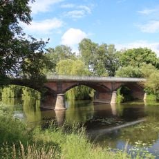
Lahnbrücke
387 m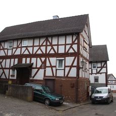
Obergasse 3
898 m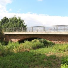
Kleine Lahnbrücke
1.6 km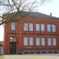
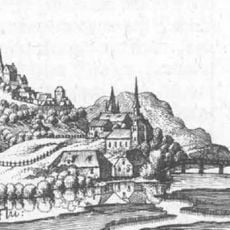
Staufenberg
794 m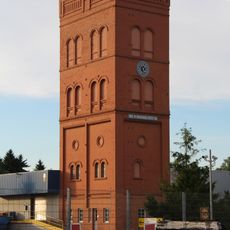
Gichtturm der Firma Buderus
1.2 km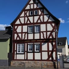
Lollar - Marburger Straße 5
1.5 km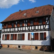
Lollar - Marburger Straße 11
1.4 km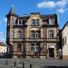
Lollar - Marburger Straße 21
1.3 km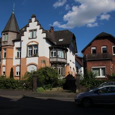
Lollar - Marburger Straße 41
1.1 km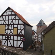
Ehem. Rathaus und Scheune
914 m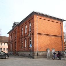
Lollar - Schur 2
1.3 km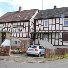
Untergasse 11, Untergasse 13
447 m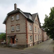
Gesamtanlage Kolonie
554 m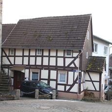
Hintergasse 2
862 m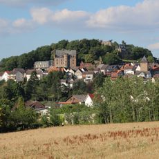
Gesamtanlage Staufenberg
918 m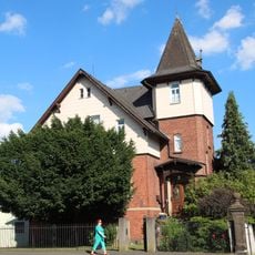
Lollar - Marburger Straße 45
1.1 km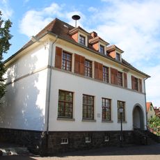
Ehem. Schule
615 m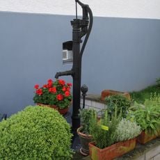
Pumpe
591 m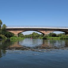
Große Lahnbrücke
1.6 km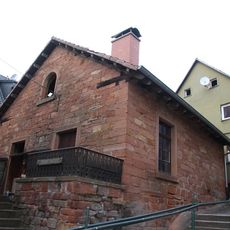
Backhaus
896 m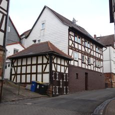
Spritzenhaus
897 m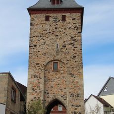
Torturm
870 m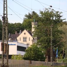
Justus-Kilian-Straße 1
1.2 km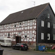
Ehem. Mühle
1.7 kmReviews
Visited this place? Tap the stars to rate it and share your experience / photos with the community! Try now! You can cancel it anytime.
Discover hidden gems everywhere you go!
From secret cafés to breathtaking viewpoints, skip the crowded tourist spots and find places that match your style. Our app makes it easy with voice search, smart filtering, route optimization, and insider tips from travelers worldwide. Download now for the complete mobile experience.

A unique approach to discovering new places❞
— Le Figaro
All the places worth exploring❞
— France Info
A tailor-made excursion in just a few clicks❞
— 20 Minutes