
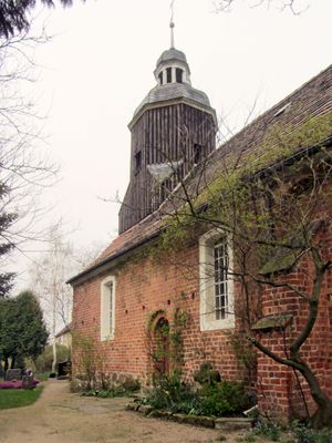
Dorfkirche, church building in Uebigau-Wahrenbrück, Germany
Location: Uebigau-Wahrenbrück
GPS coordinates: 51.50204,13.28455
Latest update: March 20, 2025 10:53

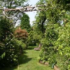
Pfarrgarten Saxdorf
0 m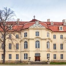
Schloss Martinskirchen
6.5 km
Dorfkirche Alt Lönnewitz
5.9 km
Koßdorf Winmill
4 km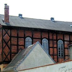
Zum Weißen Roß (Bad Liebenwerda)
7.7 km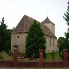
Dorfkirche Altbelgern
6.7 km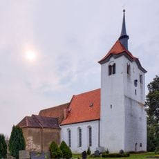
Dorfkirche Martinskirchen
6.5 km
War grave Neuburxdorf
4.2 km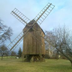
Windmühle Altbelgern
6.6 km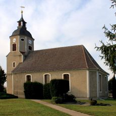
Village church Kosilenzien
6.4 km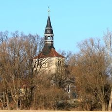
Dorfkirche Koßdorf
4 km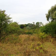
Lönnewitzer Heide
5.9 km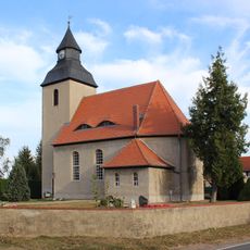
Village church Langenrieth
3.4 km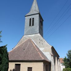
Dorfkirche Möglenz
3.7 km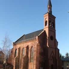
Sacred heart church Bad Liebenwerda
7.4 km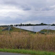
Solarpark Lönnewitz
6.4 km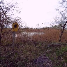
Kleine Röder
7.4 km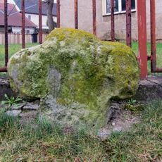
Steinkreuz Burxdorf
5 km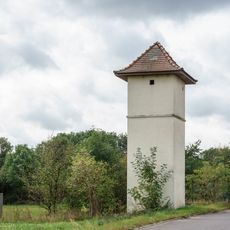
Transformatorenstation
7 km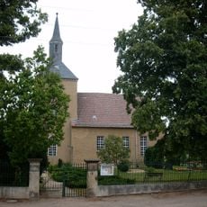
Dorfkirche Stehla
7 km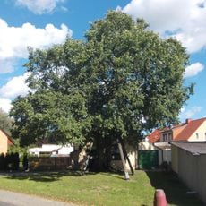
Naturdenkmal Feldulme
7.6 km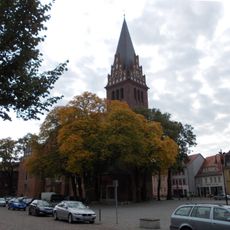
Naturdenkmal Rosskastanie Marktplatz; Flur 19, Flurstück 40 (vorn links am Marktbrunnen) in Bad Liebenwerda
7.7 km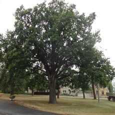
Naturdenkmal Stieleiche
4.4 km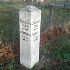
Wegestein Stehla
6.8 km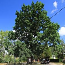
Naturdenkmal Stieleiche neben dem Friedhof Martinskirchen
6.2 km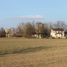
Holländermühle Stehla
6.6 km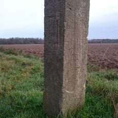
Distanzstein Wendisch-Borschütz
7.1 km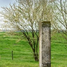
Distanzstein Burxdorf
5.3 kmReviews
Visited this place? Tap the stars to rate it and share your experience / photos with the community! Try now! You can cancel it anytime.
Discover hidden gems everywhere you go!
From secret cafés to breathtaking viewpoints, skip the crowded tourist spots and find places that match your style. Our app makes it easy with voice search, smart filtering, route optimization, and insider tips from travelers worldwide. Download now for the complete mobile experience.

A unique approach to discovering new places❞
— Le Figaro
All the places worth exploring❞
— France Info
A tailor-made excursion in just a few clicks❞
— 20 Minutes