
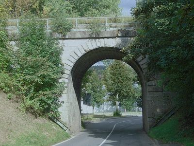
Wegdurchstich, Bestandteil der 1877 eröffneten „Waldbahn“ von Plattling nach Bayerisch-Eisenstein, rundbogiges Tonnengewölbe mit Vertreppung und Böschungsmauern, bossiertes Quadermauerwerk; bei Km 121,2
Location: Zwiesel
Address: Bahnhofplatz 1;Bahnhofplatz 3;Bahnlinie Landshut - Bayer. Eisenstein
GPS coordinates: 49.01661,13.22296
Latest update: March 10, 2025 04:31
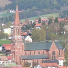
Sankt Nikolaus in Zwiesel
792 m
Bauernhausmuseum Lindberg
3 km
Mariä Namen
799 m
Stockau-Wiesen
3 km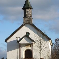
Ortskapelle
1.2 km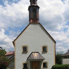
St. Georg
3 km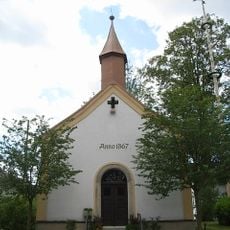
Ortskapelle
2.5 km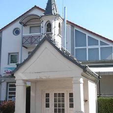
Wegkapelle
377 m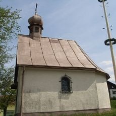
Ortskapelle
2.9 km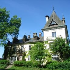
Villa von Poschinger
1.7 km
Filialkirche
3 km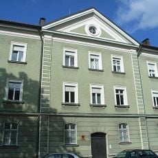
Zollamt
691 m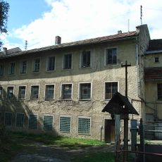
Absprengerei und Schleiferei der ehemaligen Glashütte Theresienthal
1.7 km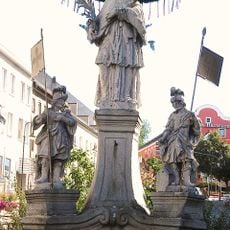
St.-Johannes-Nepomuk-Denkmal
674 m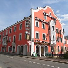
Gasthof Deutscher Rhein
788 m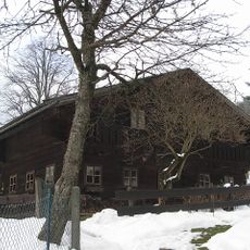
Bauernhausmuseum Lindberg
3.1 km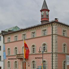
Rathaus Zwiesel
679 m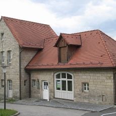
Ehemaliges Nebengebäude des Forstamts, heute Teil des Finanzamts
674 m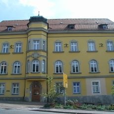
Ehemaliges Landgerichtsgebäude und Rentamt
666 m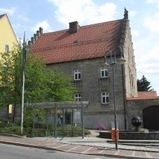
Ehemaliges Forstamt
647 m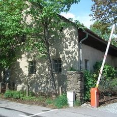
Bauernhof
856 m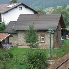
Ehemaliges Bahnwärterhaus,
1.7 km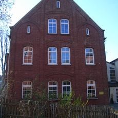
Kindergarten
863 m
Ehemalige Mädchenschule
843 m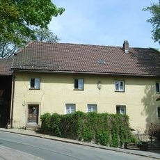
Wohnhaus
833 m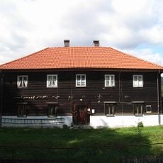
Wohnhaus
2 km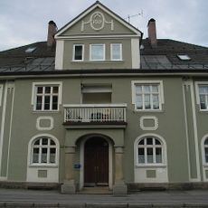
Wohnhaus
735 m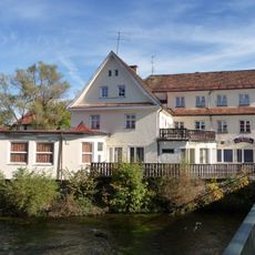
Hotel
545 mReviews
Visited this place? Tap the stars to rate it and share your experience / photos with the community! Try now! You can cancel it anytime.
Discover hidden gems everywhere you go!
From secret cafés to breathtaking viewpoints, skip the crowded tourist spots and find places that match your style. Our app makes it easy with voice search, smart filtering, route optimization, and insider tips from travelers worldwide. Download now for the complete mobile experience.

A unique approach to discovering new places❞
— Le Figaro
All the places worth exploring❞
— France Info
A tailor-made excursion in just a few clicks❞
— 20 Minutes