
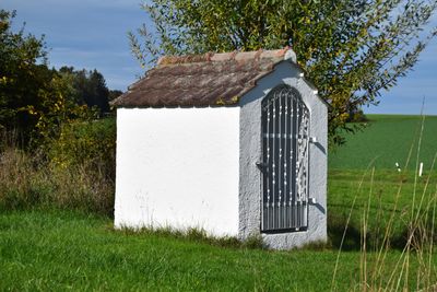
Wayside chapel, building in Upper Bavaria, Germany
Location: Altmannstein
Address: Thanner Feld, am Ortsrand
GPS coordinates: 48.93629,11.60709
Latest update: March 6, 2025 22:02
Bavariabuche
3.7 km
Cultural heritage D-1-7035-0028 in Altmannstein
2.8 km
St. Georg
2.6 km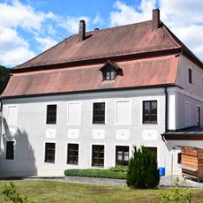
Wohnhaus, zur ehemaligen Brauerei gehörig
2.6 km
St. Johann Evangelist
2.4 km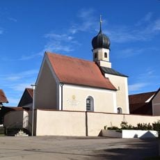
St. Nikolaus
134 m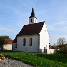
Katholische Kirche St. Andreas
2.9 km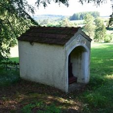
Flurkapelle
1.5 km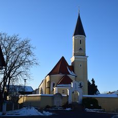
St. Peter und Paul (ensemble)
3.2 km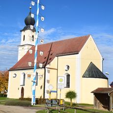
Katholische Wallfahrtskirche Unsere Liebe Frau
1.9 km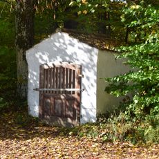
Chapelle de champs
806 m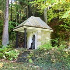
Wegkapelle am Mühlbergholz
3.4 km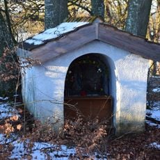
Chapel
2.6 km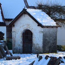
Wayside chapel
2.9 km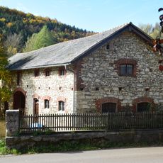
Scheune Neustädter Straße 8 in Altmannstein
2.5 km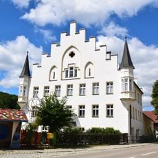
Schloss Schamhaupten
2.5 km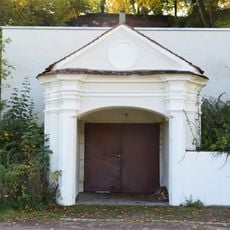
Bierkellerzugang mit barocker Portalarchitektur
3.7 km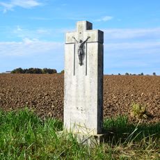
Wayside cross
2.2 km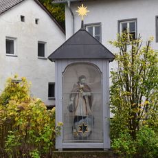
Figur des Heiligen Johannes Nepomuk
3.8 km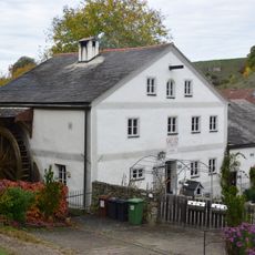
Grasslmühle
3.8 km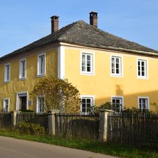
Pfarrhof
2.6 km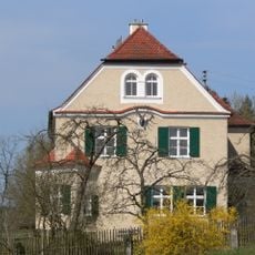
Forsthaus, zum Schloss Sandersdorf gehörig
3.8 km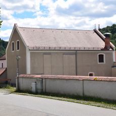
Wohnhaus Augustinerstraße 14 in Altmannstein
2.6 km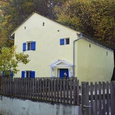
Kleinhaus
2.7 km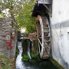
Mühlgraben Schambach in Altmannstein
3.8 km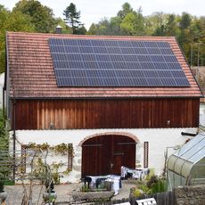
Scheune Viermühlenweg 1 in Altmannstein
3.7 km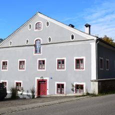
Ehemalige Mühle
2.5 km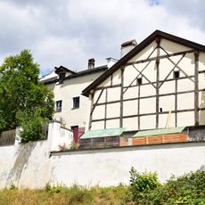
Scheune Neustädter Straße 3 in Altmannstein
2.5 kmReviews
Visited this place? Tap the stars to rate it and share your experience / photos with the community! Try now! You can cancel it anytime.
Discover hidden gems everywhere you go!
From secret cafés to breathtaking viewpoints, skip the crowded tourist spots and find places that match your style. Our app makes it easy with voice search, smart filtering, route optimization, and insider tips from travelers worldwide. Download now for the complete mobile experience.

A unique approach to discovering new places❞
— Le Figaro
All the places worth exploring❞
— France Info
A tailor-made excursion in just a few clicks❞
— 20 Minutes