
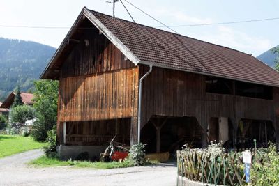
Hohenleitnerweg 10, Blockbau auf Feldsteinunterbau, 17./18. Jahrhundert, Überbau später
Location: Schwaigen
Address: Hohenleitnerweg 10
GPS coordinates: 47.64963,11.11762
Latest update: March 5, 2025 12:12

Hörnle
3.5 km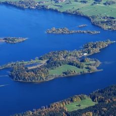
Wörth
5.4 km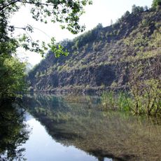
Steinbruch am Langen Köchel im Murnauer Moor
3.3 km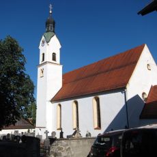
St. Martin (Bad Kohlgrub)
5.4 km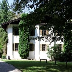
Schloss Grafenaschau
785 m
Lindenbach
3.7 km
Steinköchel
4.3 km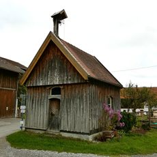
Marienkapelle
4.4 km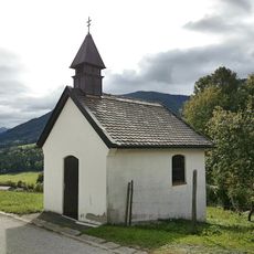
Kapelle Heiliges Kreuz
4.4 km
Kapelle St. Johannes Baptist
4.4 km
St. Ursula
4.3 km
Katholische Kapelle
5.4 km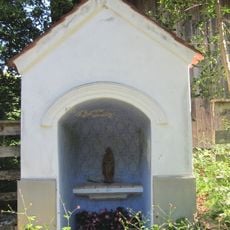
Kapelle
4.5 km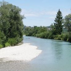
Ramsachleiten und Alte Loisach bei Murnau am Staffelsee
4.8 km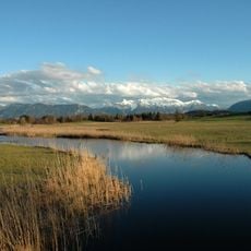
Schutz des Staffelseegebietes
5.1 km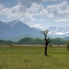
Murnauer Moos
3.9 km
Langer Köchel im Murnauer Moos
3.2 km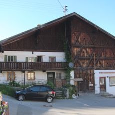
Ehemaliges Doppelhaus
5.4 km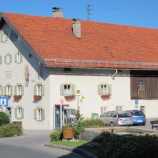
Hauptstraße 25
5.3 km
Einfirsthof
5.3 km
Ehemaliges Schulhaus
5.4 km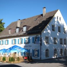
Gasthof Schwarzer Adler
5.2 km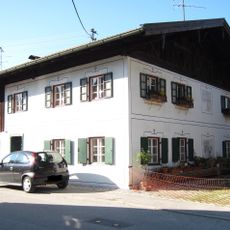
Ehemaliges Bauernhaus
5.1 km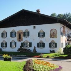
Heimatmuseum, ehemaliges Bauernhaus
5.3 km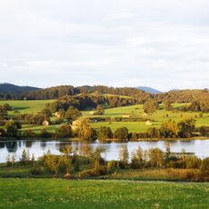
Moränenlandschaft zwischen Staffelsee und Baiersoien
5.4 km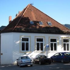
Pfarrhaus Bad Kohlgrub
5.2 km
Pfarrhaus
5.2 km
Bauernhaus
5.2 kmReviews
Visited this place? Tap the stars to rate it and share your experience / photos with the community! Try now! You can cancel it anytime.
Discover hidden gems everywhere you go!
From secret cafés to breathtaking viewpoints, skip the crowded tourist spots and find places that match your style. Our app makes it easy with voice search, smart filtering, route optimization, and insider tips from travelers worldwide. Download now for the complete mobile experience.

A unique approach to discovering new places❞
— Le Figaro
All the places worth exploring❞
— France Info
A tailor-made excursion in just a few clicks❞
— 20 Minutes