
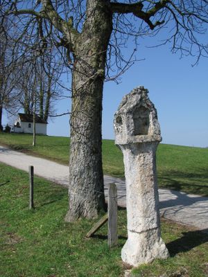
Bildstock Kreuzbichl, tuffsteinsäule mit Laterne, 16. Jahrhundert
Location: Dietramszell
Address: Kreuzleiten
GPS coordinates: 47.84955,11.58995
Latest update: April 13, 2025 10:54
Maria Elend
1.2 km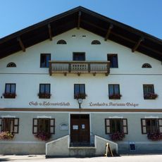
Gasthof
4 km
Zellbachtal
3 km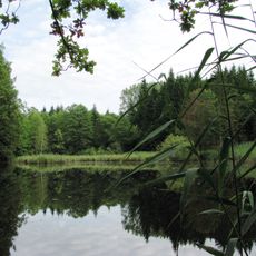
Klosterfilz
1.6 km
Leonhardsfilz
2.2 km
Seestaller Weiher
4 km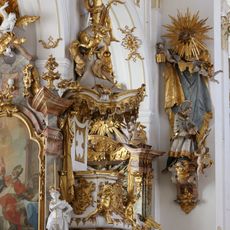
Pulpit of Mariä Himmelfahrt
441 m
St. Anna
4 km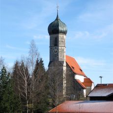
St. Magdalena
4.1 km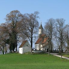
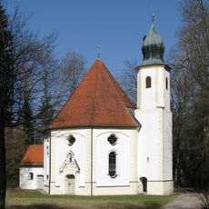
Kreuzbichlkapelle
61 m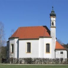
Sankt Leonhard
1.9 km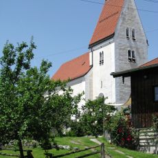
St. Katharina
1.8 km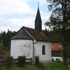
Dorfkapelle
3.4 km
Hofkapelle Walleiten
2.6 km
Hofkapelle Spöttberg
2.2 km
Waldkapelle
3 km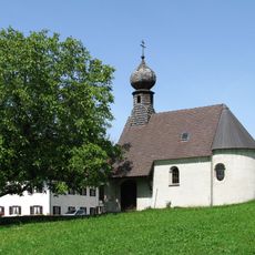
Kapelle
3.5 km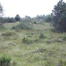
Anordnung zum Schutz der Altenbergfilze in der Gemeinde Manhartshofen
2.3 km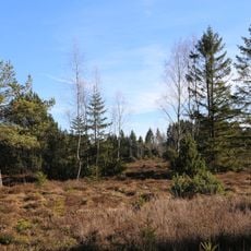
LSG Ebenbergfilze in der Gemeinde Dietramszell
1.4 km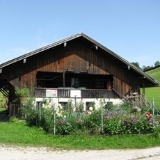
Getreidekasten
3.5 km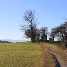
Schutz von Landschaftsteilen in der Gemeinde Dietramszell (Kreuzbichl)
255 m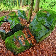
Erratische Blöcke am Schindelberg S von Dietramszell
3.1 km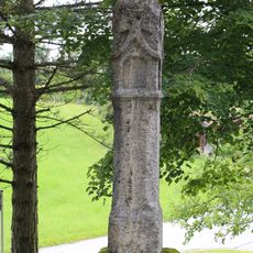
Bildstock (Lochen, Dietramszell)
4.1 km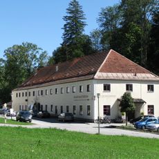
Klosterschänke
445 m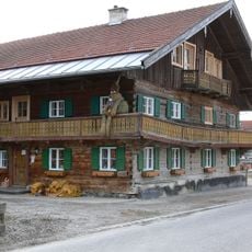
Wohnteil eines Bauernhauses
834 m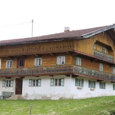
Bauernhaus
3.4 km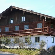
Bauernhaus
4 km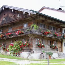
Wohnteil eines Bauernhauses
3.4 kmVisited this place? Tap the stars to rate it and share your experience / photos with the community! Try now! You can cancel it anytime.
Discover hidden gems everywhere you go!
From secret cafés to breathtaking viewpoints, skip the crowded tourist spots and find places that match your style. Our app makes it easy with voice search, smart filtering, route optimization, and insider tips from travelers worldwide. Download now for the complete mobile experience.

A unique approach to discovering new places❞
— Le Figaro
All the places worth exploring❞
— France Info
A tailor-made excursion in just a few clicks❞
— 20 Minutes