Dietramszell, municipality of Germany
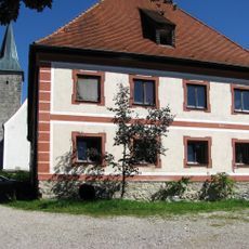
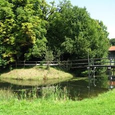
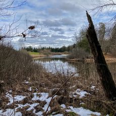
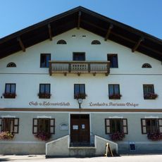
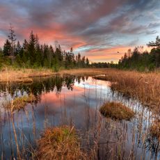
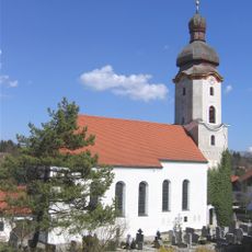
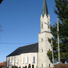
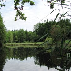
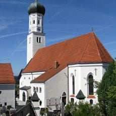
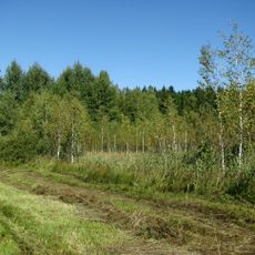
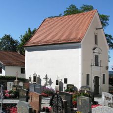
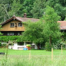
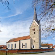
Dietramszell is a small municipality in Bavaria situated among hills, meadows, and forests where traditional houses with Bavarian architecture shape the appearance. The community features churches and an active monastery, while farms and small lakes define the surrounding countryside.
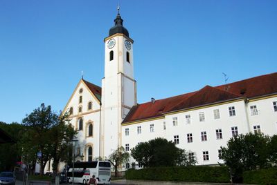
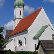
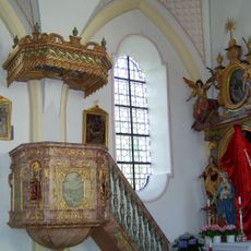
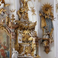
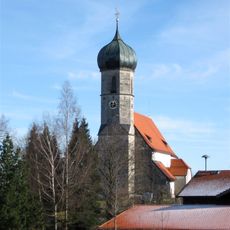
The community was officially founded in 1098 when the monastery was established, though archaeological evidence points to much older settlements in the area. The monastery church received Baroque design elements in the 18th century, a period that still influences the appearance today.
The community keeps local traditions alive through regular celebrations and gatherings. Residents take pride in their heritage, and visitors can witness this during Easter processions with horses or summer festivals featuring regional food and music that bring people together.
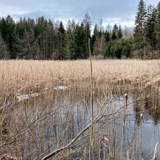
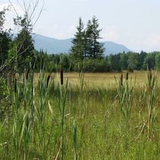
The community is easy to explore on foot or by bike since paths connect the villages and countryside, inviting leisurely walks and rides. Plan plenty of time to discover the rural area at a relaxed pace and visit the nearby lakes and forests.
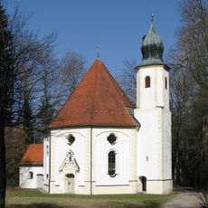
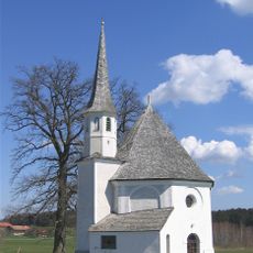
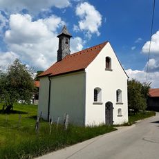
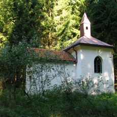
The Way of Saint James pilgrimage route passes through the community, connecting pilgrims heading to Santiago de Compostela with a small Baroque chapel in a clearing. This church serves as a stopping point on this ancient spiritual journey and offers travelers a place to rest and reflect.
The community of curious travelers
AroundUs brings together thousands of curated places, local tips, and hidden gems, enriched daily by 60,000 contributors worldwide.