
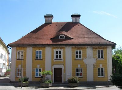
Ehemals Stadtapotheke, zweigeschossiger Walmdachbau mit Pilaster- und Rustikagliederung, aus zwei Gebäuden vereinheitlicht, 1833, barockisierende Fassade, um 1900
Location: Fürstenfeldbruck
Address: Kirchstraße 9
GPS coordinates: 48.17798,11.25673
Latest update: March 6, 2025 02:11
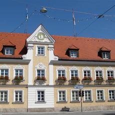
Neues Rathaus Fürstenfeldbruck
242 m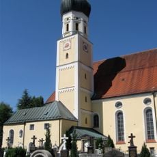
Sankt Magdalena
55 m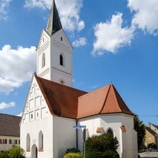
St. Leonhard
184 m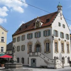
Rathaus Fürstenfeldbruck
99 m
Ehemals Postamt und Hotel
124 m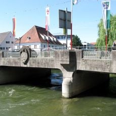
Amperbrücke
146 m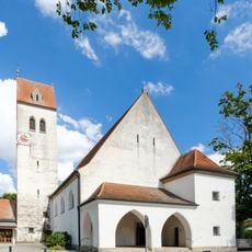
Erlöserkirche
290 m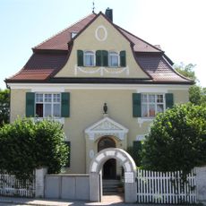
Villa
288 m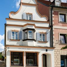
Wohnhaus
100 m
Wohnhaus
182 m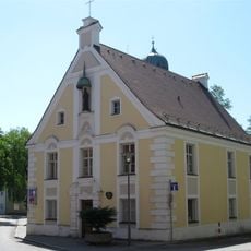
Ehemals Kammerdienerhaus des Klosters Fürstenfeld, seit 1806 Pfarrhaus des Pfarrhofes
20 m
Mehrfamilienhaus
276 m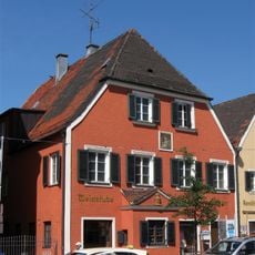
Hauptstraße 13 (Fürstenfeldbruck)
163 m
Ehemals Gerberhaus
203 m
Kriegerdenkmal
106 m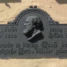
Hauptstraße 15
163 m
Hauptstraße 36
206 m
Ehemals Klosterrichterhaus, später Rentamt und Forstamt
150 m
Leonhardsplatz 1
147 m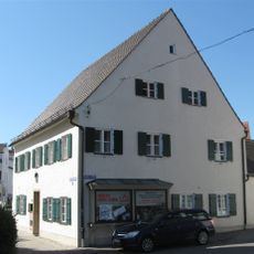
Ehemals Handwerkerhaus
202 m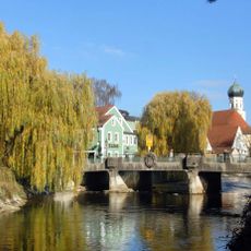
Amperbrücke
148 m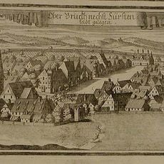
Altstadt und Leonhardsplatz
107 m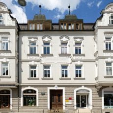
Mehrfamilienhaus
213 m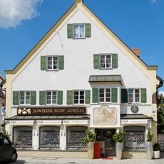
Handwerkerhaus
275 m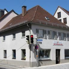
Ehemals Handwerkerhaus
287 m
Hauptstraße 17
168 m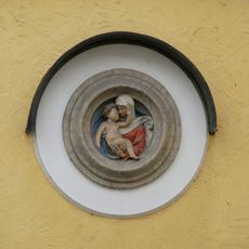
Relieftondo
125 m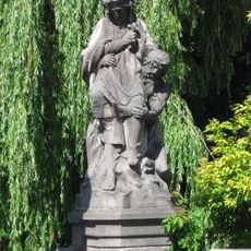
Brückenfigur Hl. Johann Nepomuk
148 mVisited this place? Tap the stars to rate it and share your experience / photos with the community! Try now! You can cancel it anytime.
Discover hidden gems everywhere you go!
From secret cafés to breathtaking viewpoints, skip the crowded tourist spots and find places that match your style. Our app makes it easy with voice search, smart filtering, route optimization, and insider tips from travelers worldwide. Download now for the complete mobile experience.

A unique approach to discovering new places❞
— Le Figaro
All the places worth exploring❞
— France Info
A tailor-made excursion in just a few clicks❞
— 20 Minutes