
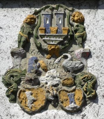
Habelsee 33, bezeichnet „1661“, eines ehemaligen Landturms, in Neubau integriert
Location: Ohrenbach
Address: Habelsee 33
GPS coordinates: 49.46677,10.24962
Latest update: March 6, 2025 07:21
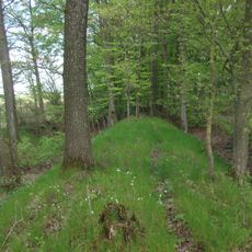
Rothenburger Landwehr
1.1 km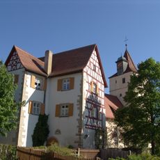
Schloss Habelsee
144 m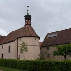
St. Konrad
4.2 km
St. Kilian
3.5 km
St. Johannes der Täufer
2.8 km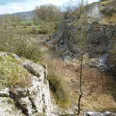
Gipsbruch Endsee
2.5 km
St. Johannes Baptist
5.1 km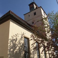
St. Michael
145 m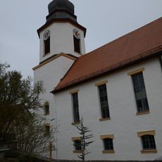
Heilig Kreuz
4.6 km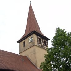
St. Jakob
5.2 km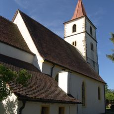
St. Maria
1.7 km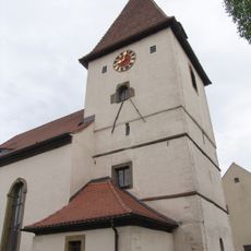
St. Laurentius
1.7 km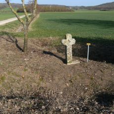
Steinkreuz bei Hartershofen
4 km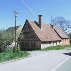
Habelsee 13
313 m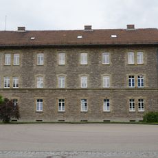
Former office building
2.3 km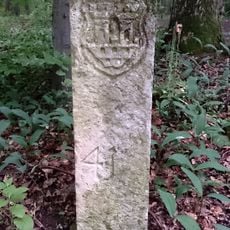
Grenzsteine Galgenholz; Seewiesen in Ohrenbach
5.2 km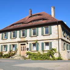
Walmdachhaus
3.7 km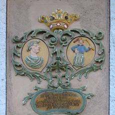
Reichardsroth Haus Nr 13
5.2 km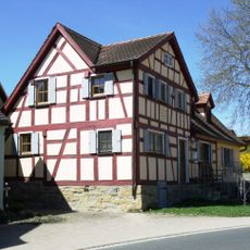
Habelsee 30
47 m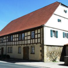
Habelsee 5
178 m
Endseer Berg
3.1 km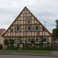
Wohnstallhaus
5.3 km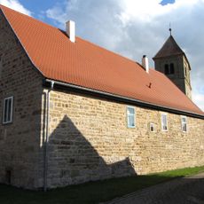
Reichardsroth Haus Nr 12
5.1 km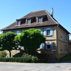
Walmdachhaus
3.6 km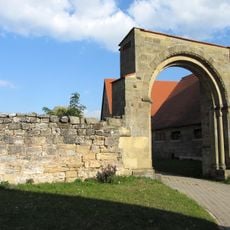
Rundbogentor (Reichardsroth)
5.1 km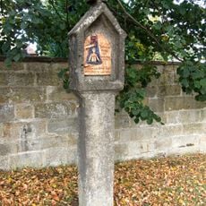
Bildstock (Reichardsroth)
5.1 km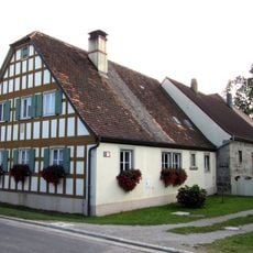
Reichardsroth Haus Nr 14
5 km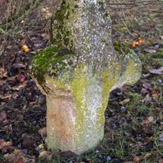
Steinkreuz
5.2 kmVisited this place? Tap the stars to rate it and share your experience / photos with the community! Try now! You can cancel it anytime.
Discover hidden gems everywhere you go!
From secret cafés to breathtaking viewpoints, skip the crowded tourist spots and find places that match your style. Our app makes it easy with voice search, smart filtering, route optimization, and insider tips from travelers worldwide. Download now for the complete mobile experience.

A unique approach to discovering new places❞
— Le Figaro
All the places worth exploring❞
— France Info
A tailor-made excursion in just a few clicks❞
— 20 Minutes