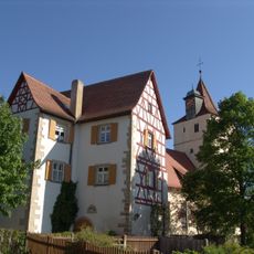
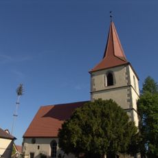
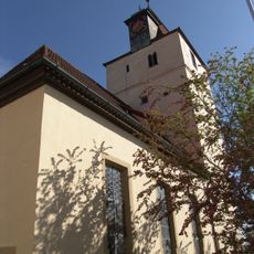
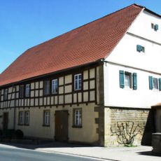
Rothenburger Landwehr, Medieval fortification structure in Ohrenbach, Germany.
The Rothenburger Landwehr, also called Landhege, is a 62 km long landwehr enclosing roughly 350 km² around Rothenburg ob der Tauber. Built from 1420 to 1480, it ran in a western arc from Steinach via Lichtel and the Rohrturm to Wettringen. It was about 20 m wide, mostly three banks and two ditches planted with dense hedges, with nine toll towers such as Lichtel and Großharbach.
The Rothenburg city council decided to build the Landhege in 1420, and it was completed by 1480. It enclosed a territory of about 163 villages and 40 castles that the city had bought from local minor nobles in the preceding decades, protecting it from plundering. Napoleon had it lifted and partly levelled in 1802, and the towers were sold.
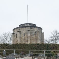
The name Landhege survives in local usage, and the Hegemeister were the officials responsible for maintaining the hedges. Nine Landtürme controlled the crossings, and the Lichteler Landturm is still used today by the Schwäbische Albverein. The Großharbach tower stands by the village bridge.
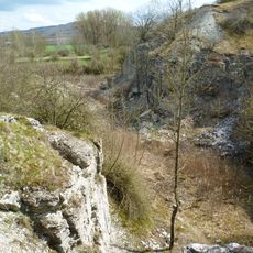
The structure can be explored on marked trails that connect different sections throughout the landscape. Sturdy footwear and weather protection are recommended since the paths cross open terrain and conditions change with the seasons.
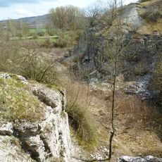
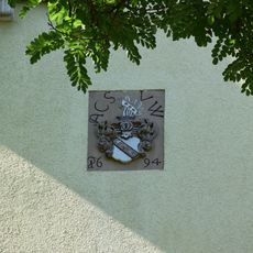
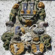
The Landhege was not a single wall but a belt about 20 metres wide, usually with three banks and two ditches planted with dense hedges. Napoleon had it lifted and partly levelled in 1802, and the towers were sold. The Rohrturm survived until 1945, was hit by tank shells at the war's end and collapsed in 1946; a stump with two coat-of-arms panels remains.
The community of curious travelers
AroundUs brings together thousands of curated places, local tips, and hidden gems, enriched daily by 92,807 contributors worldwide.