
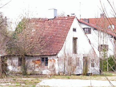
Nebengebäude, eingeschossiger verputzter Backsteinbau mit einseitig herabgezogenem Satteldach, 18./19. Jahrhundert
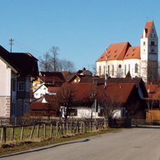
Location: Denklingen
Address: Hauptstraße 29
GPS coordinates: 47.91082,10.84973
Latest update: March 3, 2025 09:56
St. Michael
314 m
Forsthaus
599 m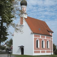
St. Antonius (Denklingen)
589 m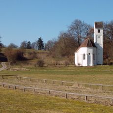
Osteraufkirche Sankt Stephan
1.6 km
Bildstock
509 m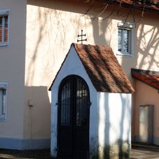
St. Ulrich (Leeder)
2.6 km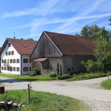
Stadel
2.5 km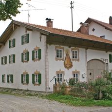
Ehemals Bauernhaus
314 m
Ehemals Kleinbauernhaus
357 m
Ehemals Gasthaus
509 m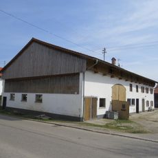
Bauernhaus
199 m
Ehemals Bauernhaus
276 m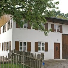
Hauptstraße 33
51 m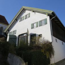
Ehemals Kleinbauernhaus
357 m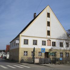
Gasthaus
329 m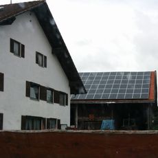
Stadel
281 m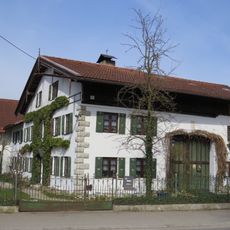
Ehemals Bauernhaus
82 m
Bauernhaus
67 m
Ehemals Benefiziatenhaus
443 m
Ehemals Kleinbauernhaus
348 m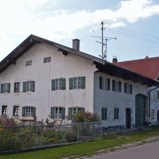
Bauernhaus
265 m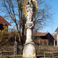
Mariensäule
566 m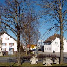
Steinkreuze
554 m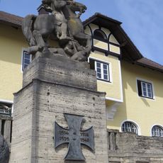
Kriegerdenkmal
310 m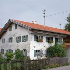
Raiffeisenstraße 3
150 m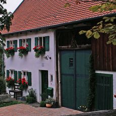
Ehemals Bauernhaus
300 m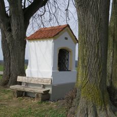
Bildhäuschen
509 m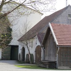
Stadel
64 mReviews
Visited this place? Tap the stars to rate it and share your experience / photos with the community! Try now! You can cancel it anytime.
Discover hidden gems everywhere you go!
From secret cafés to breathtaking viewpoints, skip the crowded tourist spots and find places that match your style. Our app makes it easy with voice search, smart filtering, route optimization, and insider tips from travelers worldwide. Download now for the complete mobile experience.

A unique approach to discovering new places❞
— Le Figaro
All the places worth exploring❞
— France Info
A tailor-made excursion in just a few clicks❞
— 20 Minutes