
Stadel, teilweise offener Ständerbau mit Satteldach, um 1800
Location: Denklingen
Address: Hauptstraße 60
GPS coordinates: 47.90915,10.84691
Latest update: March 14, 2025 04:34

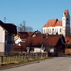
St. Michael
497 m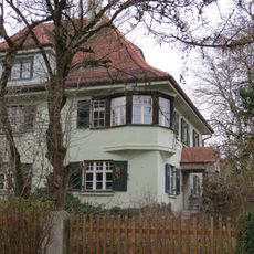
Forsthaus
872 m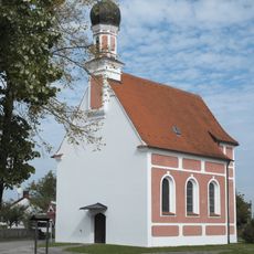
St. Antonius (Denklingen)
844 m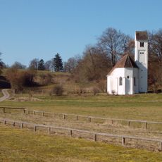
Osteraufkirche Sankt Stephan
1.4 km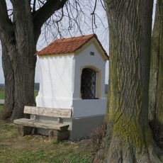
Bildstock
405 m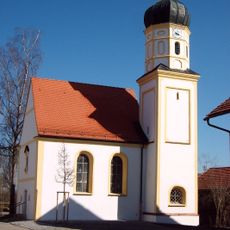
Sankt Mang
2.6 km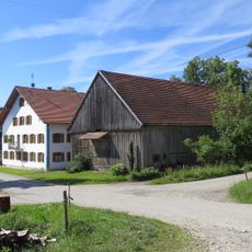
Stadel
2.3 km
Ehemals Gasthaus
762 m
Gasthaus
558 m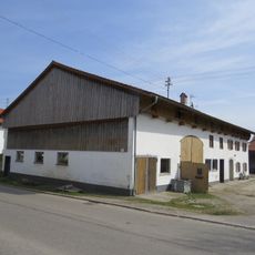
Bauernhaus
435 m
Ehemals Bauernhaus
384 m
Hauptstraße 33
238 m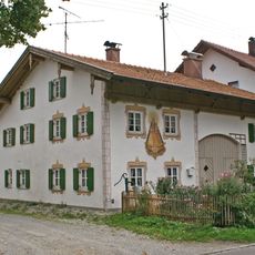
Ehemals Bauernhaus
83 m
Ehemals Kleinbauernhaus
548 m
Ehemals Kleinbauernhaus
526 m
Ehemals Benefiziatenhaus
690 m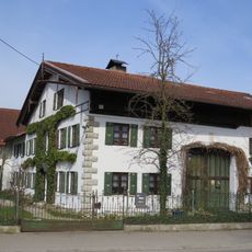
Ehemals Bauernhaus
228 m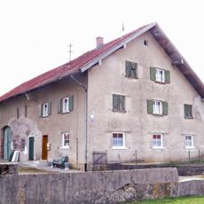
Bauernhaus
310 m
Bauernhaus
530 m
Steinkreuze
807 m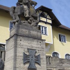
Kriegerdenkmal
530 m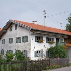
Raiffeisenstraße 3
408 m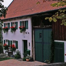
Ehemals Bauernhaus
455 m
Ehemals Schulhaus
2.5 km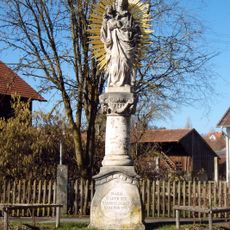
Mariensäule
815 m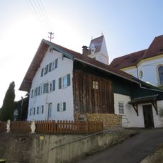
Ehemals Kleinbauernhaus
528 m
Nebengebäude
281 m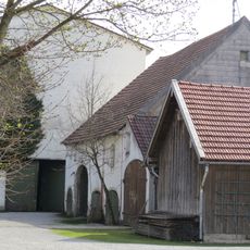
Stadel
337 mReviews
Visited this place? Tap the stars to rate it and share your experience / photos with the community! Try now! You can cancel it anytime.
Discover hidden gems everywhere you go!
From secret cafés to breathtaking viewpoints, skip the crowded tourist spots and find places that match your style. Our app makes it easy with voice search, smart filtering, route optimization, and insider tips from travelers worldwide. Download now for the complete mobile experience.

A unique approach to discovering new places❞
— Le Figaro
All the places worth exploring❞
— France Info
A tailor-made excursion in just a few clicks❞
— 20 Minutes