
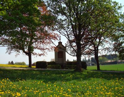
Kreuzweg, Gestiftet von Oberbaurat Ulrich Himbsel, 14 Stationskapellen zwischen Leoni und Aufkirchen, 1856, Reliefs von Anton Ganter
Location: Berg
Address: Aufkirchner Feld; Nähe Kreuzweg; Berger Feld; Kreuzweg; Hillmaier Feld
GPS coordinates: 47.95571,11.34812
Latest update: March 2, 2025 23:54
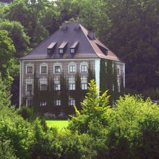
Castle Berg
1.6 km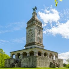
Bismarck Tower
1.5 km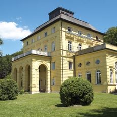
Schloss Allmannshausen
2.1 km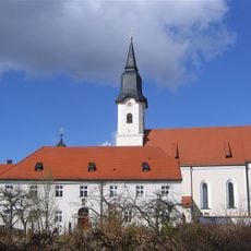
Mariä Himmelfahrt
1.1 km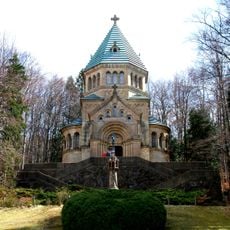
Votivkapelle
907 m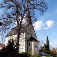
St. Johannes Baptist
1.4 km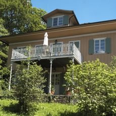
Villa Hackländer
394 m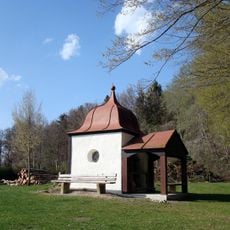
St. Anna
1.8 km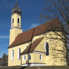
St. Valentin (Allmannshausen, Berg)
2.1 km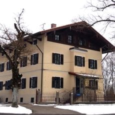
Pfarrhaus
1.2 km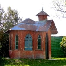
Gartenhaus
2.1 km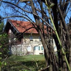
Grafstraße 5
1.4 km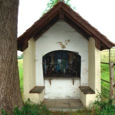
Wegkapelle
1.5 km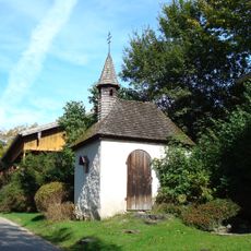
Wegkapelle
1.1 km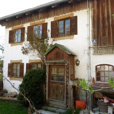
Ebrachweg 2
2 km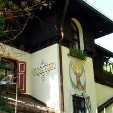
Villa Gura
511 m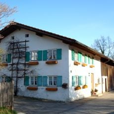
Bauernhaus
1.2 km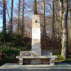
Denkmal
799 m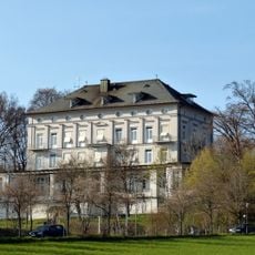
Rottmannshöhe (Assenhausen)
781 m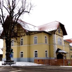
Schulmuseum
1.1 km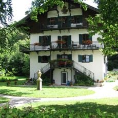
Jägerhaus
2.3 km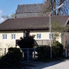
Wohnhaus
1.3 km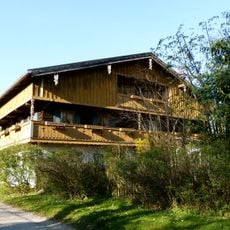
Bauernhaus
1.1 km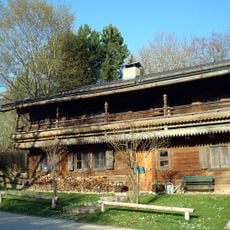
Bauernhaus
1.1 km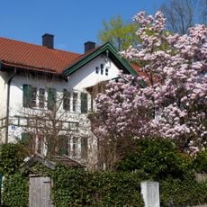
Landhaus
1.4 km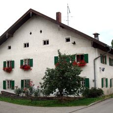
Bauernhaus
2.5 km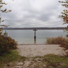
Memorial cross of Ludwig II of Bavaria
933 m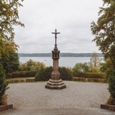
Death-Lantern Ludwig II.
915 mVisited this place? Tap the stars to rate it and share your experience / photos with the community! Try now! You can cancel it anytime.
Discover hidden gems everywhere you go!
From secret cafés to breathtaking viewpoints, skip the crowded tourist spots and find places that match your style. Our app makes it easy with voice search, smart filtering, route optimization, and insider tips from travelers worldwide. Download now for the complete mobile experience.

A unique approach to discovering new places❞
— Le Figaro
All the places worth exploring❞
— France Info
A tailor-made excursion in just a few clicks❞
— 20 Minutes