
Kriegerkapelle, oktogon mit geschweiftem Dach und Dachreiter, im Innern bezeichnet mit dem Jahr 1921/22; mit Ausstattung
Location: Bergen
Address: Sonnleitenweg 5
GPS coordinates: 47.80829,12.59205
Latest update: April 12, 2025 08:35
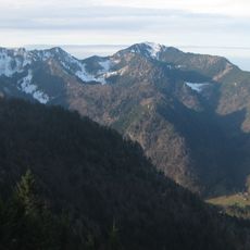
Hochfelln
5.7 km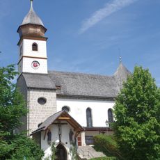
Kloster Maria Eck
2.6 km
Hochberg
6 km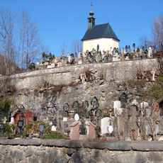
Friedhof Ruhpolding
6.3 km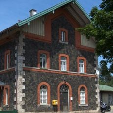
Bergen (Oberbayern) station
1.9 km
Jagdschloss Ruhpolding
6.3 km
Bergener Moos
2.4 km
Römermuseum Grabenstätt
5.3 km
St. Ägidius (Bergen)
151 m
Extensivwiesen um Ruhpolding
5.3 km
Kardinal-von-Faulhaber-Platz 9
4.4 km
St. Maximilian (Grabenstätt)
5.4 km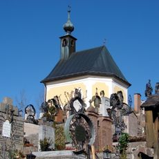
Friedhofskapelle
6.3 km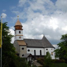
Wallfahrtskirche Maria Eck
2.6 km
LSG Tüttensee
4.7 km
Gewerbegebiet Bad Adelholzen
1.7 km
Konglomerate des Aquitan an der Blauen Wand S von Traunstein
5.2 km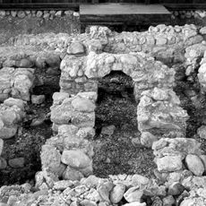
Villa rustica der römischen Kaiserzeit
2.5 km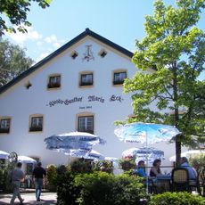
Klostergasthof
2.6 km
Hilzinger Nummulitenriff NNW von Hilzing
1.8 km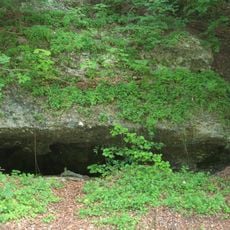
Nagelfluh-Aufschluss S von Siegsdorf
4.3 km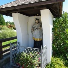
Nepomuk-Kapelle
4.1 km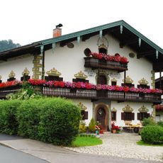
Bauernhaus
6.3 km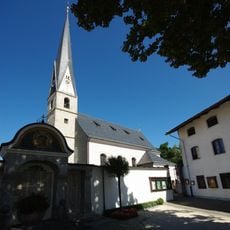
Mariae Empfaengnis
4.5 km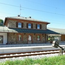
Bahnhof Siegsdorf
4.3 km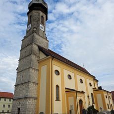
Mariä Himmelfahrt
3.9 km
Kardinal-von-Faulhaber-Platz 6
4.4 km
Kardinal-von-Faulhaber-Platz 8
4.4 kmReviews
Visited this place? Tap the stars to rate it and share your experience / photos with the community! Try now! You can cancel it anytime.
Discover hidden gems everywhere you go!
From secret cafés to breathtaking viewpoints, skip the crowded tourist spots and find places that match your style. Our app makes it easy with voice search, smart filtering, route optimization, and insider tips from travelers worldwide. Download now for the complete mobile experience.

A unique approach to discovering new places❞
— Le Figaro
All the places worth exploring❞
— France Info
A tailor-made excursion in just a few clicks❞
— 20 Minutes