Chest opened
+${chestReward.xp} XP
Explorer
NOUVEAU ×${chestReward.collectible.quantity}
tapez pour fermer

See the monuments around you in AR Open chests in the app

Around Us is built for your phone — point your camera at the streets and discover the monuments and places around you in augmented reality. Around Us is built for your phone — chests unlock when you walk, explore and capture nearby places.

•

Enable Location

We need your location to show you interesting places around you

Discover nearby places

Find interesting locations and hidden gems around you

Precise directions

Get accurate directions and distances to places

Your location is never shared with other users. It's only used when you tap the location button.

Hochberg

Log in to your account

Start exploring — it's free

Trusted by 92,802 travelers worldwide

Continue with Google
Continue with Apple
or

We will send you a code to connect

By continuing, you accept our Terms and Conditions and our Privacy Policy

Check your inbox

We've sent a pincode in your inbox. Please enter the code below.

Hochberg, Mountain summit in Traunstein, Germany

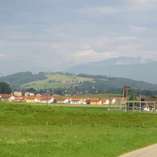
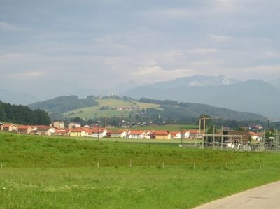
Hochberg rises to 774 m directly between Traunstein and Siegsdorf and is the highest point in the Chiemgau outside the Chiemgau Alps. The Traun flows along its western side, and the summit holds a Gasthaus and a Bayerischer Rundfunk transmitter mast. The slopes are mostly farmed but also serve as a nearby recreation area.

In 1048 the Hochberg passed to the Archbishop of Salzburg through a forest donation. The area later belonged to the Hauptmannschaft Lenzensberg in the Amt Miesenbach, Landgericht Traunstein. The municipality of Hochberg, created by the 1818 Bavarian municipal edict, had 426 inhabitants in 1933 and was dissolved on 1 July 1972; its northern part went to Traunstein, the southern to Siegsdorf.

The name Hochberg comes from the old municipality of Hochberg, which had 426 inhabitants in 1933 and was dissolved on 1 July 1972, its northern part going to Traunstein and its southern part to Siegsdorf. The summit inn and the Bavarian Broadcasting transmitter are the landmarks hikers meet at the top.

Several marked paths lead upward from Traunstein with routes of varying difficulty levels. The trails remain accessible throughout the year, though spring and summer offer the most comfortable hiking conditions.

On clear days visitors can see both the Alpine peaks and the flat Bavarian plains stretching far into the distance. This wide panorama makes the summit a favorite spot for photographers and nature watchers.

The community of curious travelers

AroundUs brings together thousands of curated places, local tips, and hidden gems, enriched daily by 92,802 contributors worldwide.
Start exploring
Location
Elevation above the sea
775.6 m
GPS coordinates
47.84123,12.65606
Latest update
October 26, 2026 06:49
Reviews
Share your experience

No review yet

Discussions
Start a discussion...

No discussion yet

« Hochberg - Mountain summit in Traunstein, Germany » is provided by Around Us (aroundus.com). Images and texts are derived from Wikimedia project under a Creative Commons license. You are allowed to copy, distribute, and modify copies of this page, under the conditions set by the license, as long as this note is clearly visible.

Discover hidden gems everywhere you go!

From secret cafés to breathtaking viewpoints, skip the crowded tourist spots and find places that match your style. Our app makes it easy with voice search, smart filtering, route optimization, and insider tips from travelers worldwide. Download now for the complete mobile experience.
Around Us App Screenshot
❝

A unique approach to discovering new places❞

— Le Figaro

❝

All the places worth exploring❞

— France Info

❝

A tailor-made excursion in just a few clicks❞

— 20 Minutes

Around Us
Travel Guide & Maps
Download

Send to your phone

QR Code
1

Open the camera app on your mobile.

2

Point at the QR code with your camera. A notification will appear.

3

Tap the notification to open the link.