
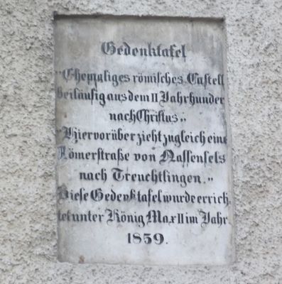
Gedenktafel, zur Erinnerung an die Römerstraße, 1859
Location: Dollnstein
Address: Nähe Marktplatz
GPS coordinates: 48.87555,11.07363
Latest update: March 2, 2025 21:04
Burg Dollnstein
56 m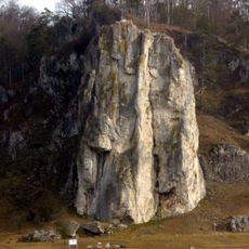
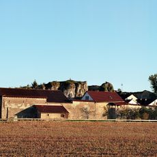
Burgstein
1.7 km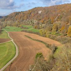
Trockenhänge bei Dollnstein
681 m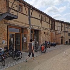
Altmühlzentrum
69 m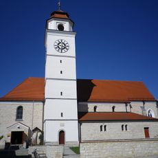
St. Peter und Paul
122 m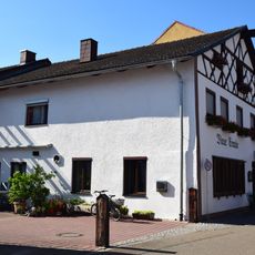
Gasthaus
247 m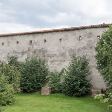
Cultural heritage D-1-7132-0141 in Dollnstein
93 m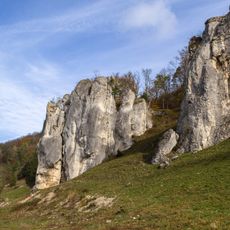
Maderfelsen NE von Dollnstein
548 m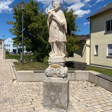
Brückenfigur Hl. Johann von Nepomuk
151 m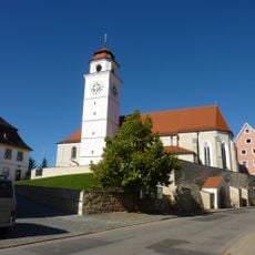
Cultural heritage D-1-7132-0055 in Dollnstein
117 m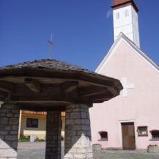
Filialkirche St. Sola, ehemals St. Alban
2.2 km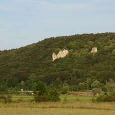
Mühlfelsen N der Bubenrother Mühle
2.5 km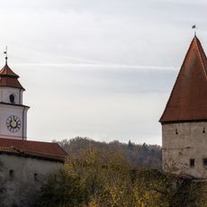
City walls of Dollnstein
74 m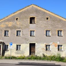
Bauernhaus
272 m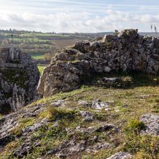
Cultural heritage D-1-7132-0138 in Dollnstein
1.7 km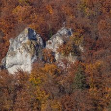
Felsgruppe in der Groppenhofener Leite N von Ried
3 km
Alter Burgsteinfelsen in Dollnstein
57 m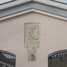
Friedhofstor
214 m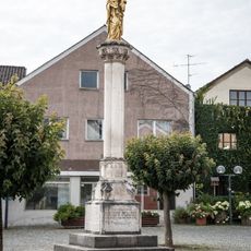
Mariensäule
45 m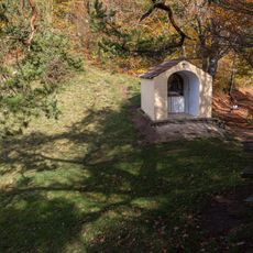
Kapelle Burgstein
1.7 km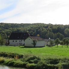
Hammermühle
3.1 km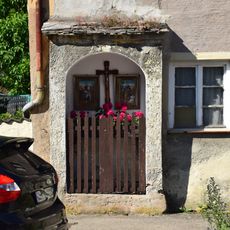
Bauernhaus Nähe Reichenaustraße in Dollnstein
275 m
Filialkirche
2.2 km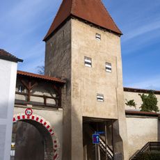
Torturm
188 m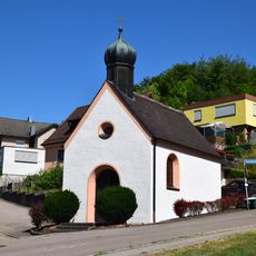
Kapelle St. Antonius
588 m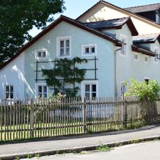
Ehemaliges Kleinbauernhaus
269 m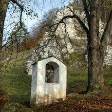
Bildstock am Maderfelsen
622 m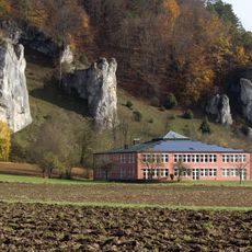
Bürgermeister-Wagner-Grundschule
482 mReviews
Visited this place? Tap the stars to rate it and share your experience / photos with the community! Try now! You can cancel it anytime.
Discover hidden gems everywhere you go!
From secret cafés to breathtaking viewpoints, skip the crowded tourist spots and find places that match your style. Our app makes it easy with voice search, smart filtering, route optimization, and insider tips from travelers worldwide. Download now for the complete mobile experience.

A unique approach to discovering new places❞
— Le Figaro
All the places worth exploring❞
— France Info
A tailor-made excursion in just a few clicks❞
— 20 Minutes