
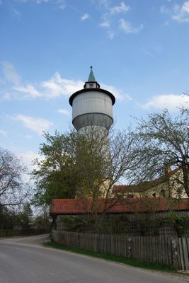
Wasserturm, Rundbau in Rupertsbuch mit auskragendem Wasserbehälter und Zeltdach, 1908
Location: Schernfeld
Inception: 1908
Address: Sappenfelder Straße 5
GPS coordinates: 48.92564,11.13872
Latest update: March 8, 2025 18:55
Heilig-Kreuz-Kirche (Wintershof)
3.4 km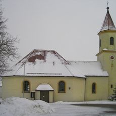
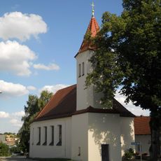
St. Sebastian und Anna
1.2 km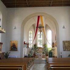
St. Michael
224 m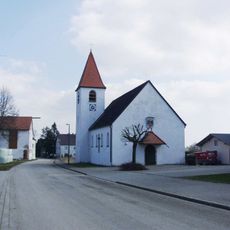
Kapelle
2.3 km
Wegkapelle
3.5 km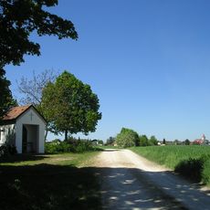
Wegkapelle
907 m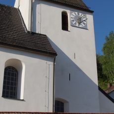
St. Johannes Evangelist
3.5 km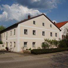
Bauernhof An der Bundesstrasse 12
188 m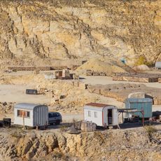
Steinbrüche NE von Obereichstätt
2.8 km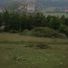
Thingstätte Eichstätt
3.1 km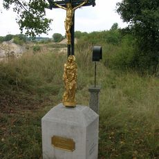
Wegkreuz
2.5 km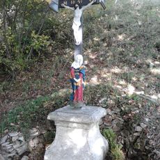
Wegkreuz Wolfsdrossel
3.7 km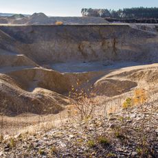
Sammlersteinbruch am Blumenberg W von Eichstätt
3.3 km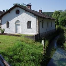
Eisenwerk Obereichstätt
3.7 km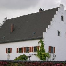
Rebdorfer Straße 68 (Eichstätt)
3.6 km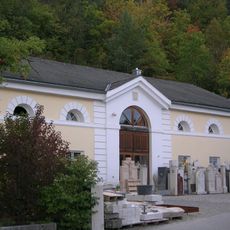
Ehemaliger Brauerei-Sommerkeller
3.4 km
Wasserturm
2.9 km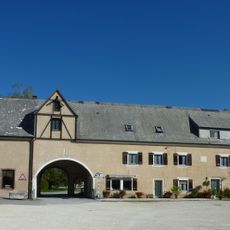
Ehemaliger Gutshof des Klosters Rebdorf
3 km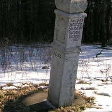
Bildstock Geisberg
3.1 km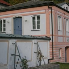
Ehemaliger Englischer Garten (Eichstätt)
3.5 km
Pfarrhaus
200 m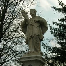
Nepomuk-Statue Schlagbrücke
3.6 km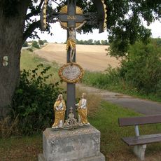
Moierkreuz
3.1 km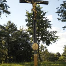
Hohes Kreuz
3 km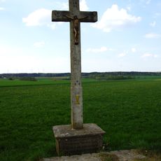
Wegkreuz
84 m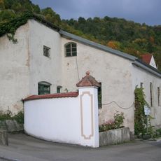
Orangerie
3.5 km
Unteres Jägerhaus
3.6 km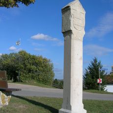
Grenzsäule Blumenberg
3.3 kmReviews
Visited this place? Tap the stars to rate it and share your experience / photos with the community! Try now! You can cancel it anytime.
Discover hidden gems everywhere you go!
From secret cafés to breathtaking viewpoints, skip the crowded tourist spots and find places that match your style. Our app makes it easy with voice search, smart filtering, route optimization, and insider tips from travelers worldwide. Download now for the complete mobile experience.

A unique approach to discovering new places❞
— Le Figaro
All the places worth exploring❞
— France Info
A tailor-made excursion in just a few clicks❞
— 20 Minutes