
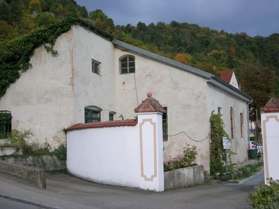
Orangerie, nebengebäude des ehemaligen „Englischen Gartens“, ursprünglich wohl Orangerie, später Teil der hier angesiedelten Bierwirtschaft, erdgeschossig mit Kalkplattendach und giebelseitigem Anbau (jetzt Atelier), Ende 18. / Anfang 19. Jahrhundert; si
Location: Eichstätt
Address: Clara-Staiger-Straße 33f
GPS coordinates: 48.90197,11.17041
Latest update: April 18, 2025 10:39
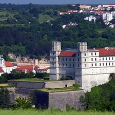
Willibaldsburg
826 m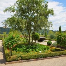
Bastionsgarten (Eichstätt)
870 m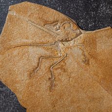
Jura Museum
786 m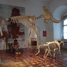
Museum für Ur- und Frühgeschichte Eichstätt
811 m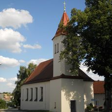
Heilig-Kreuz-Kirche (Wintershof)
581 m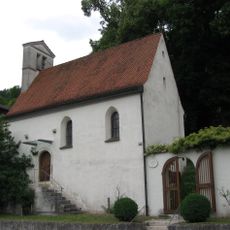
Westenfriedhof
847 m
Wegkapelle
608 m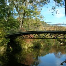
Franz-Göpfert-Steg
575 m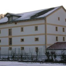
Getreidespeicher
866 m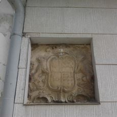
Wappentafel
829 m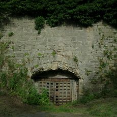
Lagerkeller Hofmühlstraße
696 m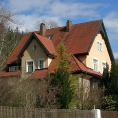
Westenstraße 124
583 m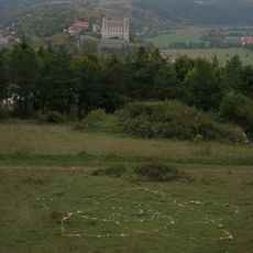
Thingstätte Eichstätt
652 m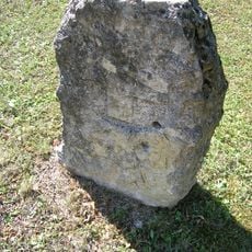
Kreuzstein an der B13
318 m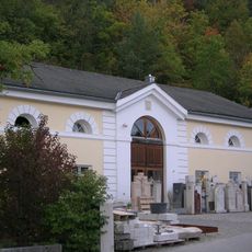
Ehemaliger Brauerei-Sommerkeller
728 m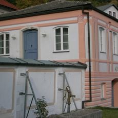
Ehemaliger Englischer Garten (Eichstätt)
41 m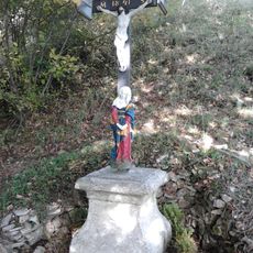
Wegkreuz Wolfsdrossel
462 m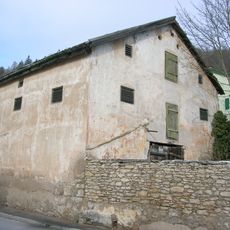
Westenstraße 94
804 m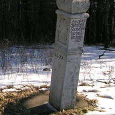
Bildstock Geisberg
523 m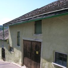
Ulrichsteig 1 (Eichstätt)
821 m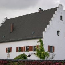
Rebdorfer Straße 68 (Eichstätt)
748 m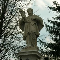
Nepomuk-Statue Schlagbrücke
465 m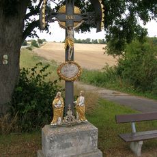
Moierkreuz
856 m
Jurahaus
633 m
Hohes Kreuz
690 m
Bastion
870 m
Unteres Jägerhaus
690 m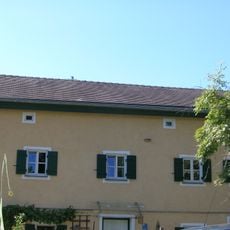
Ehemaliges Wohnstallhaus
309 mReviews
Visited this place? Tap the stars to rate it and share your experience / photos with the community! Try now! You can cancel it anytime.
Discover hidden gems everywhere you go!
From secret cafés to breathtaking viewpoints, skip the crowded tourist spots and find places that match your style. Our app makes it easy with voice search, smart filtering, route optimization, and insider tips from travelers worldwide. Download now for the complete mobile experience.

A unique approach to discovering new places❞
— Le Figaro
All the places worth exploring❞
— France Info
A tailor-made excursion in just a few clicks❞
— 20 Minutes