
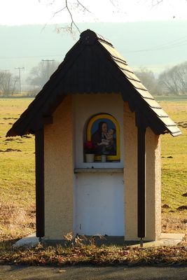
Bildstock, mit Nische und vorkragendem Satteldächlein, 19. Jahrhundert
Location: Greding
Address: Die Wöhr
GPS coordinates: 49.08839,11.29549
Latest update: March 3, 2025 23:34
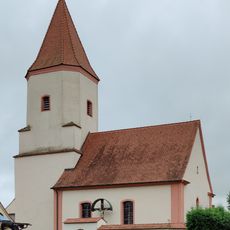
Catholic branch church in Lohen
2.8 km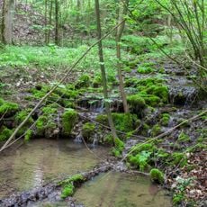
Bach und Schluchtwald bei Untermässing
2 km
Burgstall Burschel
1.1 km
Kuhbachtal bei Hausen
2.8 km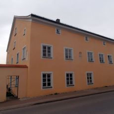
Pfarrhof, Pfarrhaus
248 m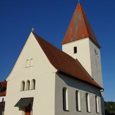
St. Ottilia (Aue)
3 km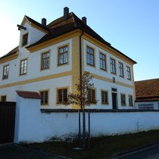
Pfarrhof
2 km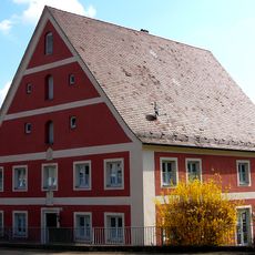
Pfarrhof
2.9 km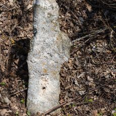
Steinkreuz bei Großhöbing
1.8 km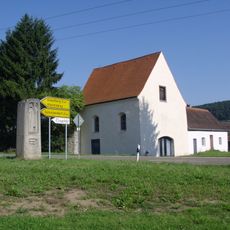
St. Peter und Paul
1.6 km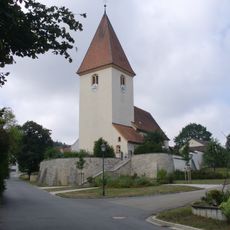
St. Johannes Evangelist
1.8 km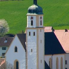
Mariä Himmelfahrt
2.8 km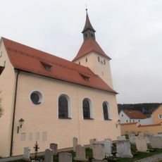
St. Leodegar
214 m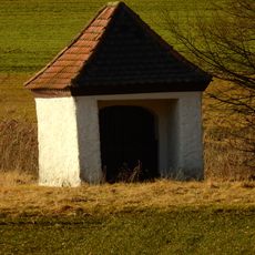
Feldkapelle
2 km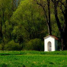
Wegkapelle
2.5 km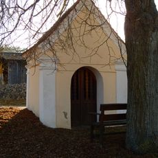
Wegkapelle
1.8 km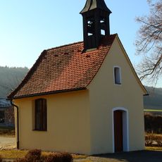
Katholische Ortskapelle
2.8 km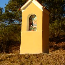
Bildstock
2.7 km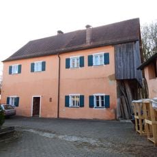
Bauernhof in der ehemaligen Hauptburg
3.1 km
St. Johannes Evangelist
2.8 km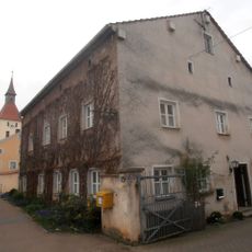
Ehemaliges Gasthaus
282 m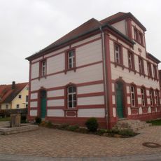
Talstraße 20
268 m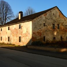
Bauernhaus
350 m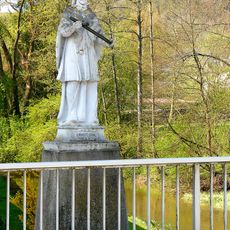
Brückenfigur
2.9 km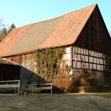
Wohnhaus
1.4 km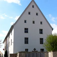
Ehemaliges Kastenhaus, dann Schule
2.8 km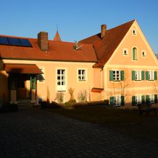
Ehemaliges Bauernhaus
1.9 km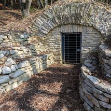
Sommerkeller bei Untermässing
1.1 kmVisited this place? Tap the stars to rate it and share your experience / photos with the community! Try now! You can cancel it anytime.
Discover hidden gems everywhere you go!
From secret cafés to breathtaking viewpoints, skip the crowded tourist spots and find places that match your style. Our app makes it easy with voice search, smart filtering, route optimization, and insider tips from travelers worldwide. Download now for the complete mobile experience.

A unique approach to discovering new places❞
— Le Figaro
All the places worth exploring❞
— France Info
A tailor-made excursion in just a few clicks❞
— 20 Minutes