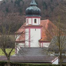
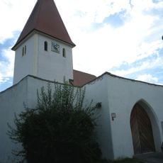
Greding, municipality in Middle Franconia, Bavaria, Germany
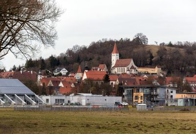
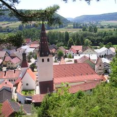
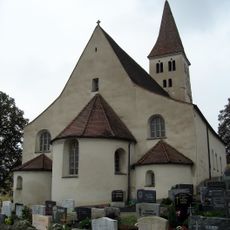
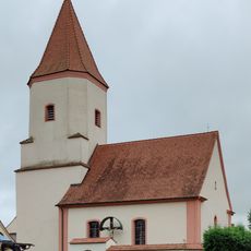
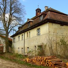
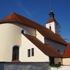
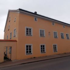
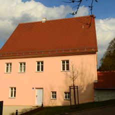
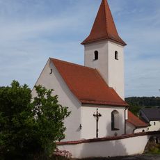
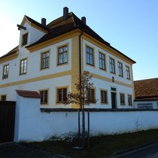
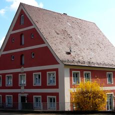
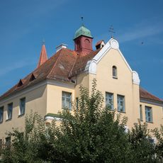
Greding is a small town in the Roth district of Middle Franconia, Bavaria, with a historic core and an old town that has kept much of its original layout. The center is compact and easy to walk through, with timber-framed houses, Renaissance buildings, local shops, and a central market square.
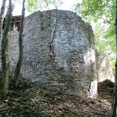
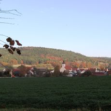
Greding grew in the Middle Ages as a local trading point in Franconia, and over the following centuries it took on a role as a regional center. Parts of the old town walls and several gateways from that period still stand today.
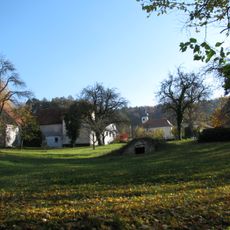
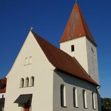
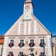
Greding has the feel of a traditional Franconian small town, with a central market square surrounded by old townhouses that frame everyday life. The square still serves as a gathering point for local events and markets, giving the town a grounded, lived-in character.
Greding is served by a local train line and is easily reached by car from a nearby motorway, with parking available close to the town center. The old town is compact enough to cover on foot, so most points of interest can be reached without a vehicle.
Greding has one of the most complete medieval town walls in Middle Franconia, with several towers and gates still standing as part of the everyday townscape. Walking along the wall gives a direct sense of how the town was fortified in the Middle Ages.
The community of curious travelers
AroundUs brings together thousands of curated places, local tips, and hidden gems, enriched daily by 60,000 contributors worldwide.