Roth, Administrative district in Middle Franconia, Germany
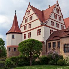
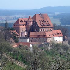
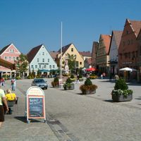
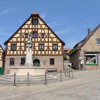
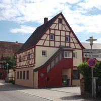
The district of Roth is an administrative division in Middle Franconia situated between Nuremberg and the Franconian Lake District. It comprises 16 municipalities and 5 towns, with the city of Roth serving as the administrative center.
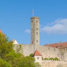
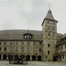
The modern district was created in 1972 when the previous territories of Roth, Schwabach, and Hilpoltstein merged into a single administrative entity. This reorganization brought together historically distinct regions under one unified structure.
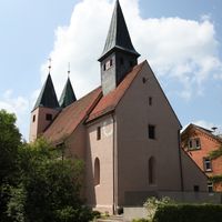
The coat of arms displays black and white Hohenzollern diamonds, a bishop's staff, and a rose, reflecting the region's historical roots and influences. These symbols represent the connections that shaped local identity over centuries.
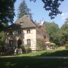
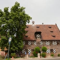
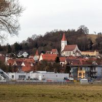
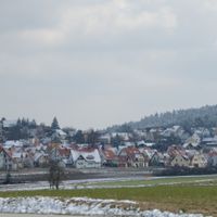
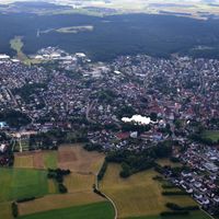
The region extends between metropolitan Nuremberg and rural Franconian areas, creating different conditions across its territories. Visitors should expect the character to shift from more urbanized zones in the west to countryside landscapes in the east.
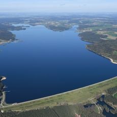
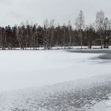
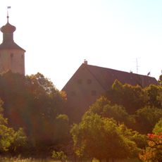
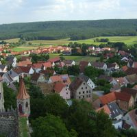
The territory contains the Abenberg and Dechenwald forests, providing green spaces and recreational opportunities across the landscape. These woodlands form an important ecological feature within the district.
Location: Middle Franconia
Inception: July 1, 1972
Capital city: Roth
Elevation above the sea: 355 m
Shares border with: Nürnberger Land, Nuremberg, Schwabach, Fürth, Ansbach, Weißenburg-Gunzenhausen, Eichstätt district, Neumarkt
Website: https://landratsamt-roth.de
GPS coordinates: 49.25000,11.08000
Latest update: December 12, 2025 17:48
Rhine-Main-Danube Canal
14 km
Großer Brombachsee
16.9 km
Chiquitania
30.1 km
Rothsee
8.3 km
Wülzburg
25.6 km
Abenberg Castle
8.6 km
University of Altdorf
25.1 km
Weißenburg Roman Fort
25.9 km
Badhaus Wendelstein
12.5 km
Schwarzach-Durchbruch
14.9 km
Ellingen Residence
22.6 km
Schloss Grünsberg
22.5 km
Kloster Gnadenberg
27.4 km
Schloss Ratibor
914 m
Golden Cone of Ezelsdorf-Buch
22.3 km
Jägersee
15.8 km
Schloss Syburg
21 km
Burg Wernfels
15.7 km
Steinerne Rinne bei Erasbach
27.9 km
Wallfahrtskirche Maria Hilf in Freystadt
18.7 km
Lettensturz
18.9 km
Schnittlinger Loch
16.5 km
Appelhof
9.7 km
Roman bath in Weißenburg in Bayern
26 km
Reichelsdorf
15 km
Teufelskirche von Grünsberg
23.2 km
Sandsee Castle
15.6 km
St. Peter und Paul in Leerstetten
9 kmVisited this place? Tap the stars to rate it and share your experience / photos with the community! Try now! You can cancel it anytime.
Discover hidden gems everywhere you go!
From secret cafés to breathtaking viewpoints, skip the crowded tourist spots and find places that match your style. Our app makes it easy with voice search, smart filtering, route optimization, and insider tips from travelers worldwide. Download now for the complete mobile experience.
A unique approach to discovering new places❞
— Le Figaro
All the places worth exploring❞
— France Info
A tailor-made excursion in just a few clicks❞
— 20 Minutes