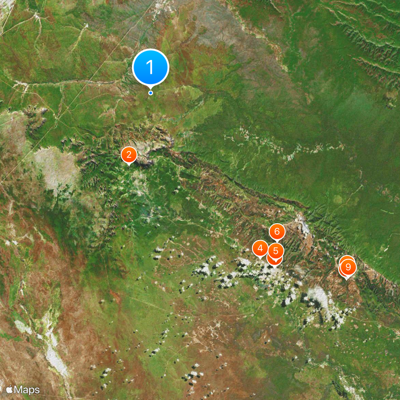
Chiquitania, Transitional plains between Gran Chaco and Amazon in Santa Cruz, Bolivia
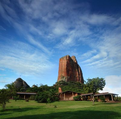
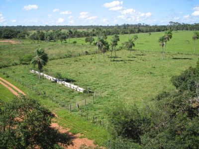
Chiquitania is a transitional landscape between the Gran Chaco and the Amazon in Bolivia's lowlands, stretching across hundreds of kilometers. The region displays a mosaic of seasonal tropical forests, open grasslands, and wet savannas that flow into one another.
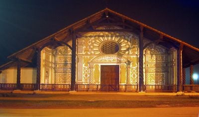
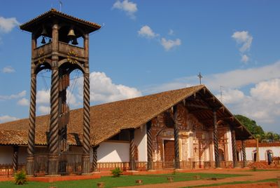
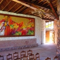
Spanish Jesuits established a network of mission towns in the 16th century to convert indigenous populations to Christianity. These settlements left lasting religious and urban structures that shaped the region's character for centuries.
The name comes from Spanish conquistadors who misunderstood small doorways in local houses as evidence of short stature among the inhabitants. This confusion became the lasting name for the entire region.
Most visitors arrive through Santa Cruz airport, from which roads connect to communities throughout the region. The dry season provides easier travel and better chances to observe wildlife in their natural surroundings.
Jaguars and tapirs roam across the different forest types and grasslands of this region, demonstrating its ecological richness. Spotting these animals remains rare, but their presence underscores the importance of these habitats for endangered species.
Location: Santa Cruz Department
Inception: January 1, 1788
GPS coordinates: 49.09309,11.41708
Latest update: December 7, 2025 20:40
Pantanal
10026.5 km
Jesuit Missions of Chiquitos
10259.5 km
Maciço do Urucum
10191.3 km
Pantanal Matogrossense National Park
10045.8 km
Kaa-Iya del Gran Chaco National Park and Integrated Management Natural Area
10417.6 km
Jardín Botánico de Santa Cruz de la Sierra
10426.4 km
Otuquis National Park and Integrated Management Natural Area
10277.5 km
Immaculate Conception Cathedral, Concepción
10214.9 km
Fort of Coimbra
10267.3 km
Parque nacional Histórico Santa Cruz La Vieja
10280.6 km
Defensores del Chaco National Park
10450.3 km
Santuario Mariano de la Torre
10257.3 km
Marco do Jauru
9921.1 km
Eurico Gaspar Dutra Bridge
10216.7 km
Cathedral of St. Louis of France
9921.1 km
San Matías Integrated Management Natural Area
10123.5 km
Taiamã Ecological Station
9978.7 km
Our Lady of Candelaria Cathedral, Corumbá
10177.1 km
Pantanal History Museum
10177.2 km
Ruins of the Church of the Holy Trinity
9977.9 km
Médanos del Chaco National Park
10545.3 km
Misión de San José
10277.9 km
Cruz de la Cruceñidad
10435 km
Herman Gmeiner
10433.8 km
Memorial do Homem Pantaneiro
10177.3 km
Anita Suárez de Leigue
10432.4 km
Cadete Voluntario
10434.4 km
José Eustaquio Méndez
10435.4 kmReviews
Visited this place? Tap the stars to rate it and share your experience / photos with the community! Try now! You can cancel it anytime.
Discover hidden gems everywhere you go!
From secret cafés to breathtaking viewpoints, skip the crowded tourist spots and find places that match your style. Our app makes it easy with voice search, smart filtering, route optimization, and insider tips from travelers worldwide. Download now for the complete mobile experience.
A unique approach to discovering new places❞
— Le Figaro
All the places worth exploring❞
— France Info
A tailor-made excursion in just a few clicks❞
— 20 Minutes