Bolivia, Country in central South America
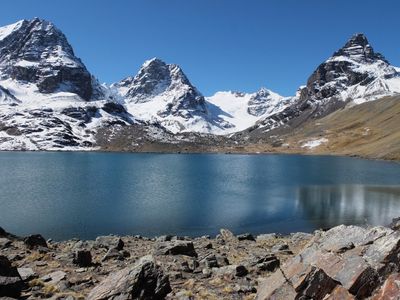
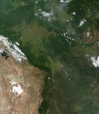
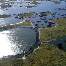
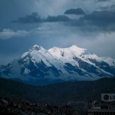
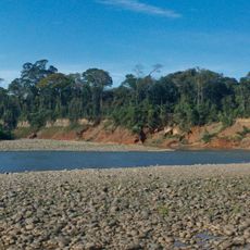
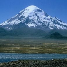
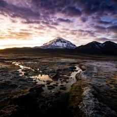
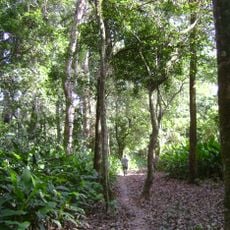
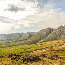
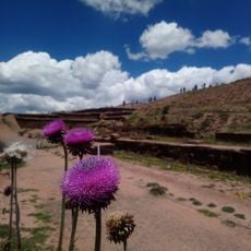
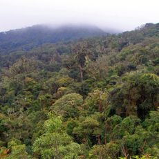
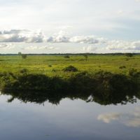
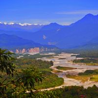
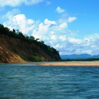
This landlocked nation in central South America stretches from lowlands in the Amazon basin to peaks in the Andes, connected by the Altiplano plateau. The country covers about 424,000 square miles (1.1 million square kilometers), borders Brazil, Paraguay, Argentina, Chile, and Peru, and ranges from tropical rainforest to high-altitude plains.
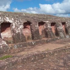
Spanish forces conquered the area from 1535 and ruled for nearly three centuries until independence arrived in 1825. The name honors Simón Bolívar, leader of the liberation campaigns, while war with Chile from 1879 to 1884 brought the loss of access to the Pacific.
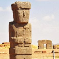
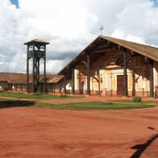
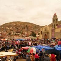
People today chew coca leaves or drink them as tea to ease altitude symptoms, a practice that has roots going back centuries before Spanish arrival. In rural areas, women often wear layered pollera skirts and bowler hats, items that arrived from Europe and later became part of local dress.
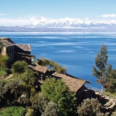
La Paz sits at roughly 11,980 feet (3,650 meters) and serves as the seat of government, while Sucre remains the constitutional capital and home to the Supreme Court. Visitors should allow time to adjust to the thinner air, especially in the higher parts of the country.
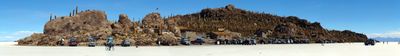
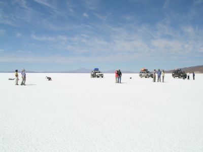
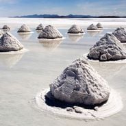
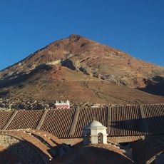
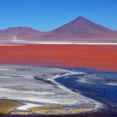
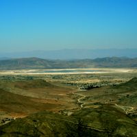
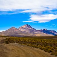
The southwest holds the largest salt flat on Earth, covering more than 4,000 square miles (10,000 square kilometers) and hiding significant lithium reserves beneath its crust. On the road from La Paz to the Amazon basin, temperature shifts within hours from Andean cold to tropical warmth.
Inception: 1825
Capital city: Sucre
Part of: Latin America, South America, Mercosur
Shares border with: Argentina, Brazil, Chile, Paraguay, Peru
Address: Bolivia
GPS coordinates: -17.05687,-64.99123
Latest update: December 17, 2025 14:57
This collection brings together around 30 travel destinations that sit outside the usual tourist routes. You will find cities, natural regions, and historical sites where tourism still operates on a human scale. What these places share: you can travel here without encountering the overcrowding that...
Bolivia sits in the central Andes, linking mountain ranges, high plateau lands, and lowland rainforests in a landlocked country. The changes in altitude create different climate zones and landscapes, from snow-covered peaks to tropical vegetation. Many visitors start in La Paz, a city that clings to...
Titicaca
482.6 km
Salar de Uyuni
463.2 km
Pantanal
797.4 km
Tiwanaku
396.3 km
Pumapunku
396.9 km
Gate of the Sun
396.4 km
Cerro Rico
296.3 km
Inca road system
505.7 kmChiripa
414.4 km
Cristo de la Concordia
127 km
National Mint of Bolivia
293.1 km
Ponce Monolith
396.3 km
Bennett Monolith
396.5 kmIllimani
300.8 km
El Fuerte de Samaipata
176.2 km
Kalasasaya
396.4 km
Landau
145.4 km
Madidi National Park and Integrated Management Natural Area
469.2 km
Nevado Sajama
429.2 km
Sajama National Park
432 km
Noel Kempff Mercado National Park
544.4 km
Isiboro Sécure National Park and Indigenous Territory
253.1 km
Toro Toro National Park
142.3 km
Laguna Colorada
642.7 km
Akapana
396.3 km
Chiquitania
540.1 km
Amboró National Park
134.2 km
Jesuit Missions of Chiquitos
278.8 kmVisited this place? Tap the stars to rate it and share your experience / photos with the community! Try now! You can cancel it anytime.
Discover hidden gems everywhere you go!
From secret cafés to breathtaking viewpoints, skip the crowded tourist spots and find places that match your style. Our app makes it easy with voice search, smart filtering, route optimization, and insider tips from travelers worldwide. Download now for the complete mobile experience.
A unique approach to discovering new places❞
— Le Figaro
All the places worth exploring❞
— France Info
A tailor-made excursion in just a few clicks❞
— 20 Minutes