Inca road system, Ancient road network across the Andes Mountains, South America
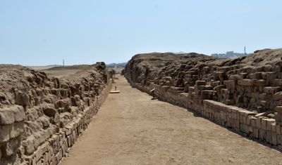
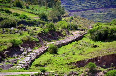
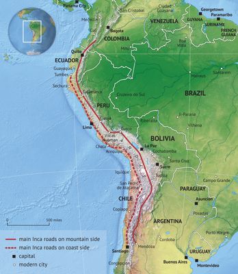
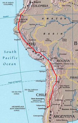
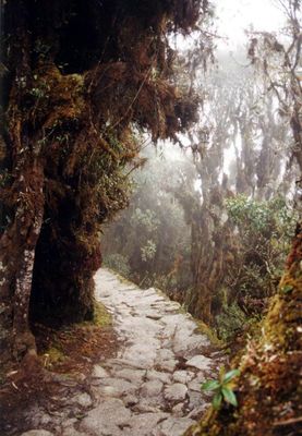
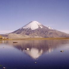
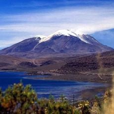
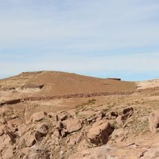
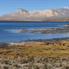
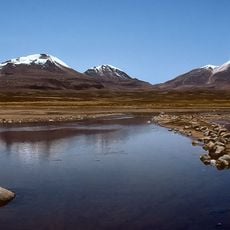
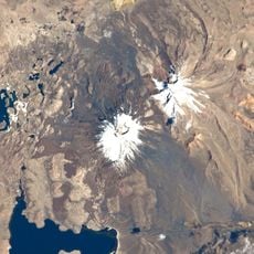
This road network extends over more than 40000 kilometers through six South American countries and includes paved mountain paths, hanging bridges and tunnels carved into rock. The routes connect coastal areas with highlands and pass through deserts, forests and icy elevations.
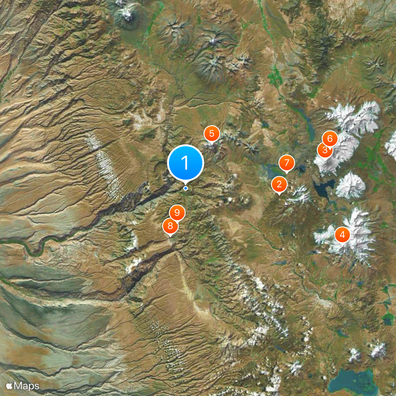
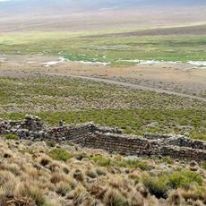
Several pre-Columbian cultures built parts of this network, but the Inca expanded it significantly between 1438 and 1533, connecting territories from Ecuador to Chile. The roads served to administer the empire and enabled rapid communication over enormous distances.
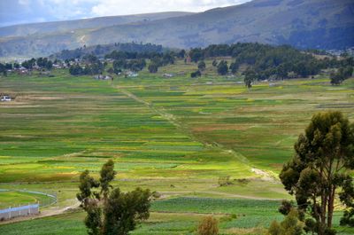
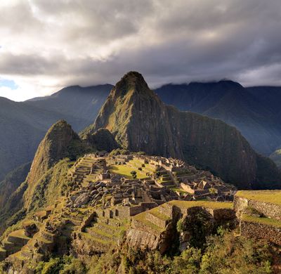
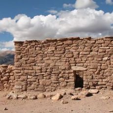
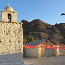
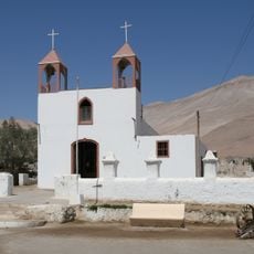
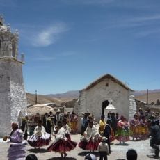
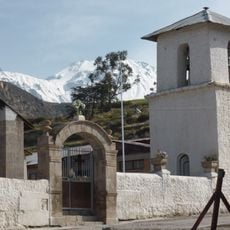
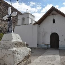
The name Qhapaq Ñan means great or royal road in Quechua and refers to the official function of the network for the ruler and his messengers. Today visitors can walk sections that pass through highlands, valleys and coastal regions, connecting different climate zones.
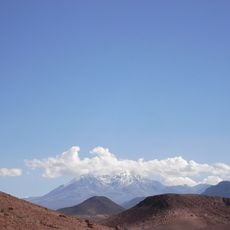
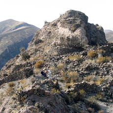
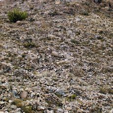
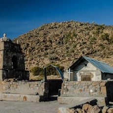
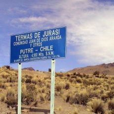
Many sections lie at high altitude and require acclimatization as well as weatherproof clothing, as the climate can change dramatically within a day. Some areas are well accessible and marked, while others require hiking experience and local guidance.
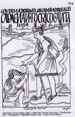
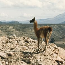
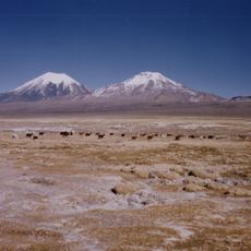
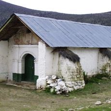
This road network was created without the use of wheeled vehicles, iron tools or large pack animals. Instead, the builders relied on llamas for transport and organized relay runners who passed messages over thousands of kilometers.
The community of curious travelers
AroundUs brings together thousands of curated places, local tips, and hidden gems, enriched daily by 60,000 contributors worldwide.