Phaq'u Q'awa, Mountain summit in Sajama National Park, Bolivia
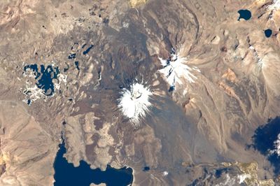
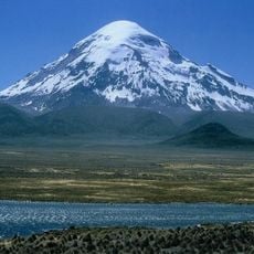
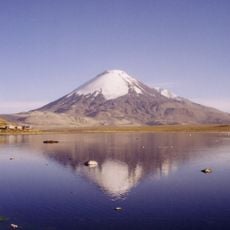
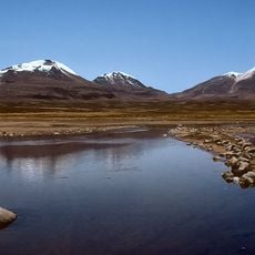
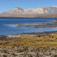
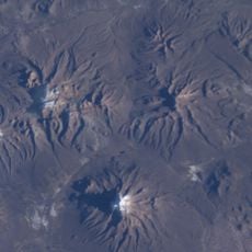
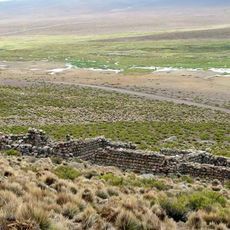
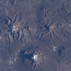
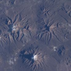
Phaq'u Q'awa is a mountain summit in the Cordillera Occidental of the Andes, sitting at 5,331 meters elevation in Sajama National Park. The peak rises with rocky slopes and dark stone formations, fed by several streams that flow down from its higher reaches.
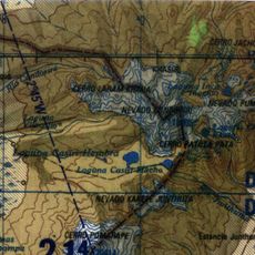
The summit has been known by different names over time, including Pacocahua and Pajojañua, reflecting the long history of geographical documentation in the Andean region. These various names show how mountain identification and mapping evolved as different groups documented the landscape.
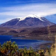
The name comes from the Aymara language, where phaq'u describes the light brown and reddish tones visible on the mountainside. The term q'awa refers to the small streams and crevices you can see carved into the rocky slopes.
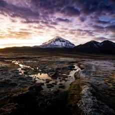
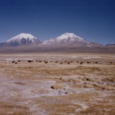
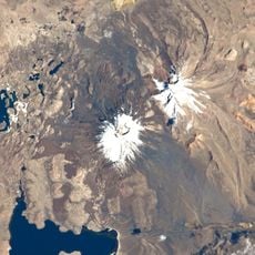
The summit sits in a high alpine zone where weather changes rapidly and temperatures drop significantly. Visitors should prepare for steep terrain and bring waterproof gear along with layered clothing to adapt to changing conditions.
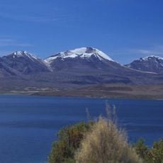
The Kunturiri River originates on the northern slopes and flows toward Chile, forming an important hydrological boundary in this high-altitude region. This water source shapes both the geography and the ecology of the surrounding plateau ecosystems.
The community of curious travelers
AroundUs brings together thousands of curated places, local tips, and hidden gems, enriched daily by 60,000 contributors worldwide.