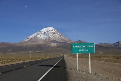
Sajama National Park, National park in Oruro Department, Bolivia.
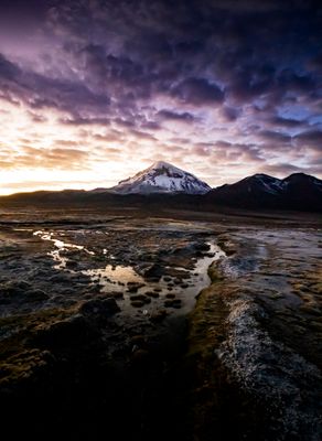
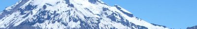
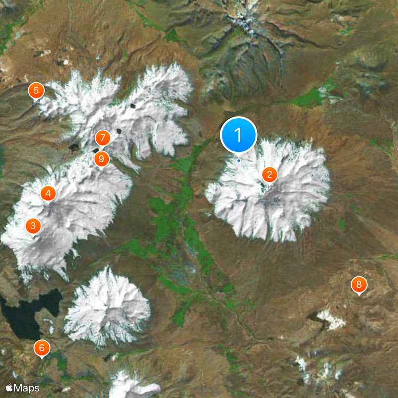
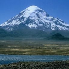
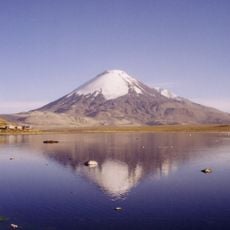
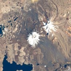
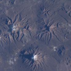
Sajama National Park is a protected area in Bolivia's Oruro Department, covering more than 100,000 hectares at altitudes ranging from 4200 to 6542 meters. Snow-covered peaks rise alongside hot springs and native Queñoa woodlands adapted to the harsh Altiplano conditions.
The Bolivian government created the reserve in 1939 to protect the native Queñoa trees growing on the mountain slopes. It was the first site of its kind in the country and has served as a model for conservation efforts across the Altiplano ever since.
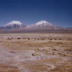
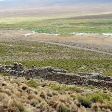
Aymara families graze their llama herds across the highland pastures and spin the wool using methods passed down through their ancestors. Their stone-built settlements dot the reserve and show daily life shaped by livestock care and traditional weaving customs.
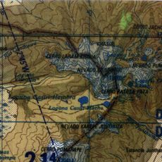
Trails lead to hot springs, geysers and ancient burial towers at the foot of Nevado Sajama. Because of the high altitude, spend a few days adjusting before any climb and carry enough water throughout your visit.
Tens of thousands of perfectly straight lines cross the ground, carved into the Altiplano by ancient civilizations. They stretch across wide areas of the reserve and still raise questions about their original purpose.
The community of curious travelers
AroundUs brings together thousands of curated places, local tips, and hidden gems, enriched daily by 60,000 contributors worldwide.