Ch'uxña Quta, Mountain summit in Pacajes Province, Bolivia
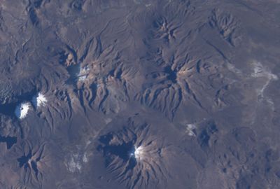
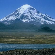
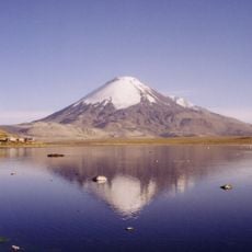
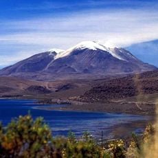
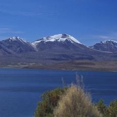
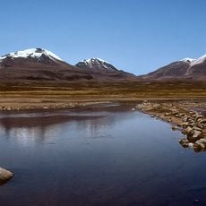
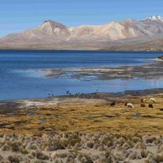
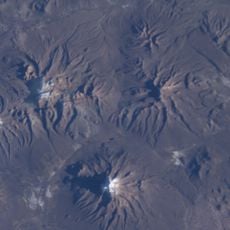
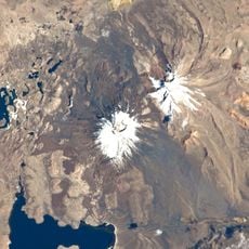
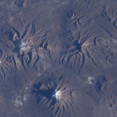
Ch'uxña Quta is a mountain summit in Pacajes Province that rises to 4,952 meters above sea level in the Andes range. The peak sits northwest of Sajama volcano and southwest of Suni Q'awa mountain.
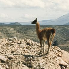
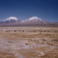
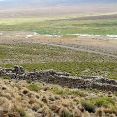
The mountain stands as a witness to centuries of indigenous settlement in the La Paz Department, where local communities established their territories around natural landmarks. The terrain shaped the boundaries and travel routes that people used across the region.
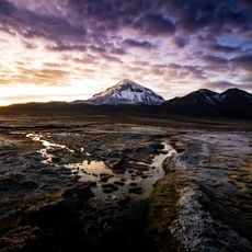
The name comes from Aymara language elements: 'ch'uxña' meaning green and 'quta' meaning lake, showing how local people named their landscape after what they saw around them. This naming reflects the way indigenous communities described their surroundings through natural features.
Mountaineers need high-altitude equipment and proper acclimatization to reach the summit, as conditions at this elevation are demanding. Cold temperatures and strong winds are common features of this area of the Andes.
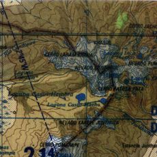
The mountain serves as a geographic reference point for geological studies in Calacoto Municipality because of its precise location. Its coordinates and elevation make it an important measurement point for scientific research in this Andean region.
The community of curious travelers
AroundUs brings together thousands of curated places, local tips, and hidden gems, enriched daily by 60,000 contributors worldwide.