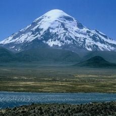
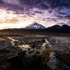
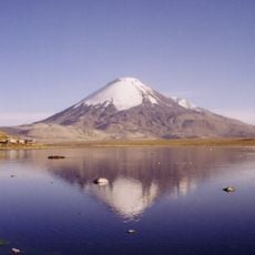
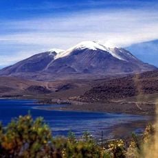
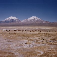
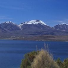
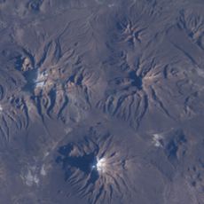
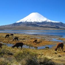
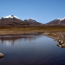
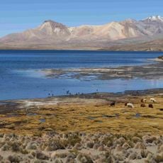
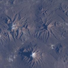
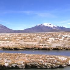
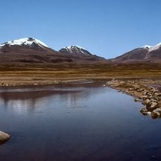
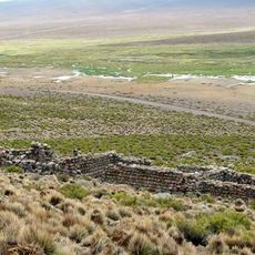
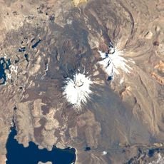
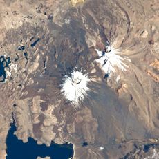
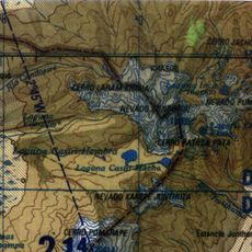
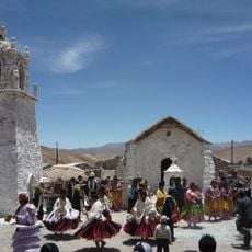
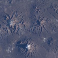
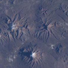
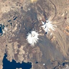
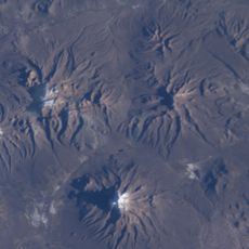
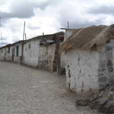
Sajama Lines, Ancient geoglyph network near Nevado Sajama, Bolivia.
The Sajama Lines are a web of thousands of nearly straight paths scraped into the Altiplano of western Bolivia near the Sajama volcano, covering 22,525 km2. Makers removed vegetation and dark soil and oxidized rock to expose lighter subsoil. Lines radiate from nodes marked by wak'as, chullpas and hamlets; one line runs over 39 km.
Indigenous communities created these paths around 3,000 years ago to connect religious sites and settlements across the high plateau. The scale of the project reveals how ancient cultures organized and managed the challenging landscape.
The network of paths contains multiple radial centers that connect to religious structures, burial towers, and settlements across the high-altitude landscape.
These paths are best viewed from elevated vantage points or through satellite imagery, as they are difficult to see from ground level. Visitors should bring sturdy footwear and sun protection, since the terrain is open and exposed to intense high-altitude sun.
Some lines radiate outward from central points in star-like patterns, suggesting they may have been connected to astronomical or ritual observations. This radial design sets them apart from other geoglyph systems found elsewhere in South America.
The community of curious travelers
AroundUs brings together thousands of curated places, local tips, and hidden gems, enriched daily by 94,158 contributors worldwide.