Illimani, Mountain summit in Cordillera Real, Bolivia
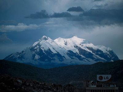
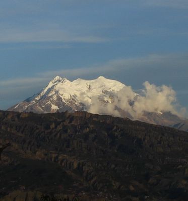
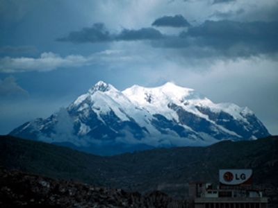
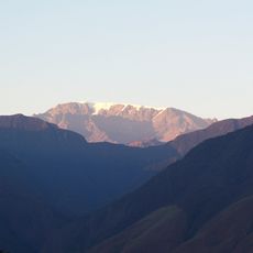
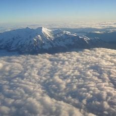
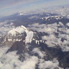
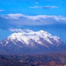
Illimani stands at 6,438 meters as the highest peak in the Cordillera Real and dominates the skyline above La Paz and El Alto with its four distinct summits. The mountain displays steep rock faces, sharp ridges, and snow-covered peaks that characterize the rugged terrain of the Bolivian Andes.
British climber William Martin Conway completed the first recorded ascent in 1898 with Italian guides J.A. Maquignaz and L. Pellissier. This expedition marked a turning point in European exploration of South America's highest peaks.
The name Illimani comes from Aymara words meaning Golden Eagle, connecting the mountain to the indigenous peoples of the region. Local communities still view the peak as a significant landmark that shapes their connection to the surrounding landscape.
Climbing requires snow and ice experience plus safe navigation on frozen slopes, best attempted during the dry season from May to October. Visitors should plan several days at high altitude and travel with mountain guides, as conditions can become dangerous quickly.
A passenger aircraft crashed into the peak on January 1, 1985, one of the deadliest aviation accidents recorded at such extreme altitude. This incident left lasting marks on both mountain and aviation safety history.
The community of curious travelers
AroundUs brings together thousands of curated places, local tips, and hidden gems, enriched daily by 60,000 contributors worldwide.