Isiboro Sécure National Park and Indigenous Territory, National park and indigenous territory in Beni and Cochabamba Departments, Bolivia.
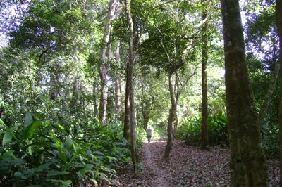
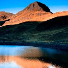
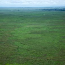
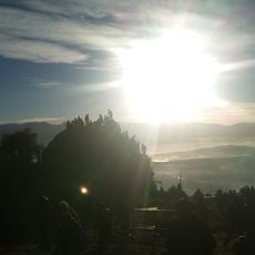
Isiboro Sécure National Park and Indigenous Territory is a national park and indigenous territory in Beni and Cochabamba Departments in Bolivia, covering mountainous regions, savanna landscapes, and rainforest zones. Elevation ranges from 180 to 2,500 meters and encompasses roughly 1.3 million hectares with several distinct habitats for plants and animals.
The Bolivian government created the protected area in November 1965 as a national park to safeguard the region's biological diversity. After years of negotiation with local residents, the territory received additional status as an indigenous homeland in 1990.
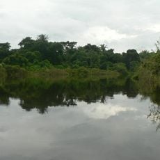
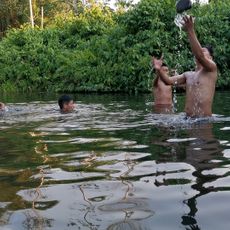
The name origin connects the two main rivers Isiboro and Sécure that flow through the protected area and define its geographic boundaries. Fishers and hunters from resident communities use these waterways daily to transport their goods, traveling in canoes between riverside villages.
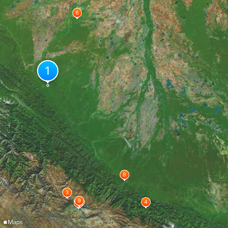
Rivers serve as main transport routes into the territory, with boats operating along the Isiboro, Sécure, and Mamoré waterways. Travel requires longer journey times and appropriate preparation, as roads exist only on the edges.
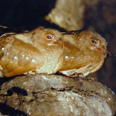
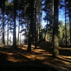
Four major ecosystems meet here and provide habitat for 992 bird species along with 218 mammal species. Scientists have documented roughly 3,000 plant species so far, with some found only at these elevations.
The community of curious travelers
AroundUs brings together thousands of curated places, local tips, and hidden gems, enriched daily by 60,000 contributors worldwide.