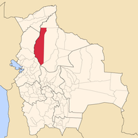
Beni Department, Administrative division in northeastern Bolivia.
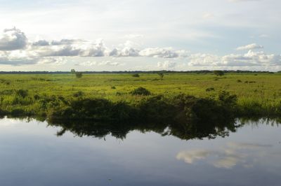
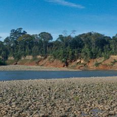
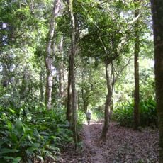
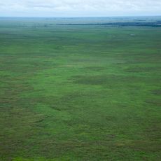
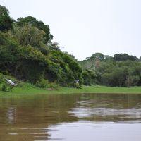
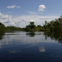
The Beni Department is a first-level administrative division in northeastern Bolivia that spreads across lowland plains covered with dense rainforest. Rivers wind through wide, often flooded areas and provide access to remote settlements scattered throughout the territory.
A decree issued on November 18, 1842, created this administrative unit under General José Ballivián. Before that, missionaries and small trading posts began exploring the plains and establishing contact with the communities living there.
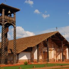
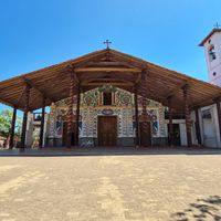
Communities along the rivers gather for festivals featuring bamboo flutes and hand-painted masks that reflect local wildlife. Market stalls in larger settlements display woven baskets made from palm fibers gathered in nearby forests.
Travel between towns often relies on small aircraft or boats because roads become impassable during the rainy season. Trinidad serves as a hub for connections to other parts of the country and should be planned as a starting point.
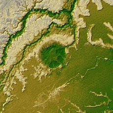
Archaeologists discovered massive earth mounds across the plains that reveal centuries-old settlement patterns. These raised platforms served as living areas and protection from floods during periods of high water.
The community of curious travelers
AroundUs brings together thousands of curated places, local tips, and hidden gems, enriched daily by 60,000 contributors worldwide.