Noel Kempff Mercado National Park, World Heritage Site in Santa Cruz Department, Bolivia
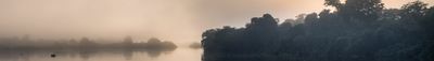
Noel Kempff Mercado National Park is a large protected area in Bolivia containing tropical forests, savannas, wetlands, and sandstone plateaus. The landscape includes different habitats that range from dense jungle to open grasslands.
The area was established as Huanchaca National Park in 1979 and renamed in 1988 to honor biologist Noel Kempff Mercado. The name change marked its shift from a local to an internationally recognized protected site.
Indigenous communities near the park maintain their traditional ways of life and remain important to protecting the natural resources around them. Their presence shapes how the land and forests are used today.
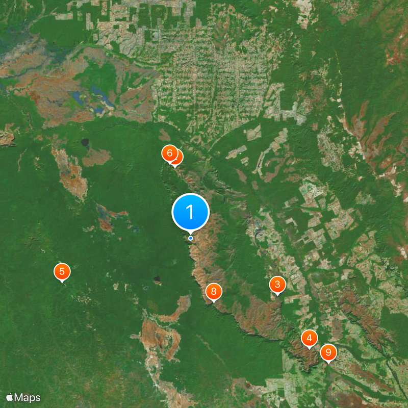
Visitors should arrange their visit through certified tour operators, as the park is remote and requires special arrangements. The best time to visit is during the dry season when trails are easier to access.
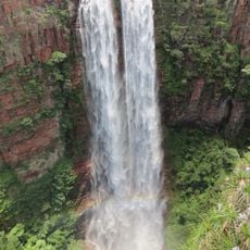
The plateau in the park contains several impressive waterfalls, including Arcoiris Falls, which displays color variations due to mineral deposits. These geological formations developed over millions of years and offer rare examples of natural coloring in the landscape.
The community of curious travelers
AroundUs brings together thousands of curated places, local tips, and hidden gems, enriched daily by 60,000 contributors worldwide.