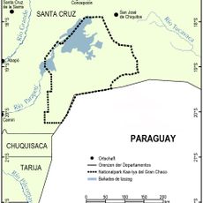
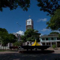
Santa Cruz Department, Eastern administrative region in Bolivia.
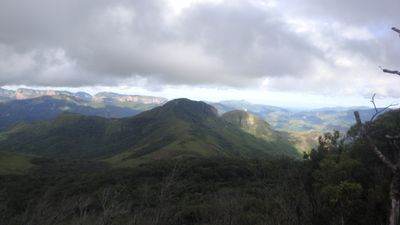
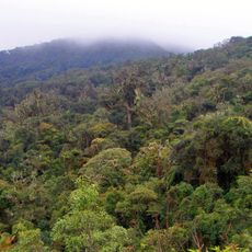
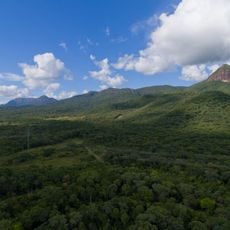
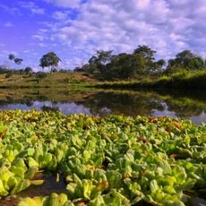
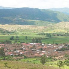
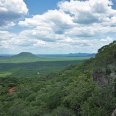
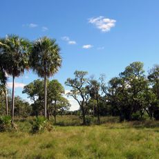
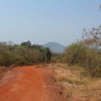
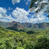
The department occupies the eastern portion of Bolivia, extending from the foothills of the Andes eastward into lowland plains that border Brazil and Paraguay. Its landscape shifts from forested slopes to open grasslands and wetlands, covering a large share of the national territory.
The territory became a formal administrative unit in 1826, shortly after national independence. Over the following decades, it shifted from a remote frontier into an economic center for the country.
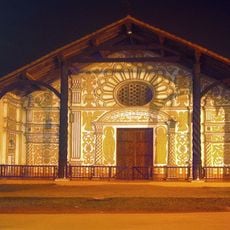
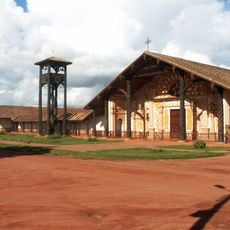
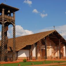
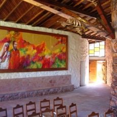
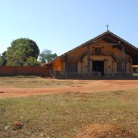
The population includes Mestizo, European descendants, and indigenous communities, with regional traditions reflected through year-round agricultural festivals and local music.
Viru Viru International Airport near Santa Cruz de la Sierra offers connections in many directions. A network of highways links different areas within the region and provides routes to neighboring territories.
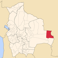
Germán Busch Province holds the El Mutún iron ore deposit, one of the largest in the world. Reserves are estimated at around 40 billion tons, drawing international interest for decades.
The community of curious travelers
AroundUs brings together thousands of curated places, local tips, and hidden gems, enriched daily by 60,000 contributors worldwide.