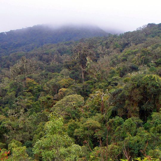
Amboró National Park, National park in Santa Cruz Department, Bolivia
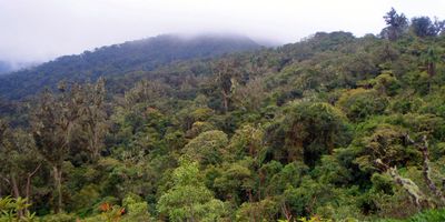
Amboró National Park lies in western Santa Cruz Department at the "Elbow of the Andes", where the eastern cordillera bends westward. Its slopes rise from 300 m to 3,338 m at a western point called "Siberia", and annual rainfall reaches 1,400 to 4,000 mm. The park holds Yungas forests, cloud forest and dry inter-Andean valleys, with giant tree ferns and orchids.
The area received its first protection status in 1973 as a wildlife reserve before becoming a national park in 1984. Its boundaries were adjusted several times later to reduce pressure from settlement and agriculture in the buffer zones.
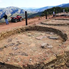
The name Amboró comes from Cerro Amboró, the peak that gave the reserve its first name. Pre-Columbian pictographs are found in the El Tunal community, and the Fort of Samaipata lies near the park. Settlements around the borders include highland colonists in the north, valley peasants in the south and Guarayas communities to the east.
Several trails lead through different parts of the park, with shorter routes taking about an hour and longer hikes requiring half a day. Sturdy footwear and rain protection are advisable since paths can be muddy and sudden showers are common.
The park sits at the crossroads of three major ecosystems, where species from the Amazon, the Andes and the dry Chaco meet. This geographic position makes it a hotspot for biological diversity with unusual combinations of wildlife and plants.
The community of curious travelers
AroundUs brings together thousands of curated places, local tips, and hidden gems, enriched daily by 92,775 contributors worldwide.