Guarayos Province, Province in Santa Cruz Department, Bolivia
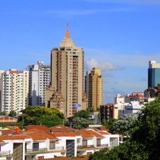
Guarayos Province lies in northwestern Santa Cruz Department and encompasses diverse terrain ranging from forests to open plains suitable for agriculture. The region is organized into three municipalities, each with its own administrative center and connecting road networks.
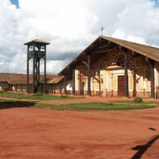
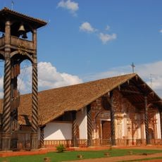
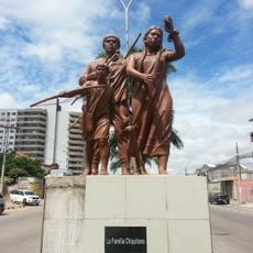
The province was named after the Guarayos, indigenous people who established settlements in the area during the 16th century. These early communities formed the foundation for the region's current population distribution and administrative divisions.
The Guarayos people continue to shape daily life across the region, with their traditions visible in local crafts and community gatherings. Their connection to the land remains strong, influencing how settlements are organized and how people interact with the natural surroundings.
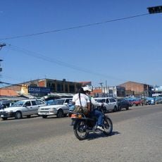
The main entry point is Ascención de Guarayos Airport, which connects to the province's municipalities via road networks. Travel within the region can be slow during rainy seasons, as dirt roads become difficult to navigate and require sturdy vehicles.
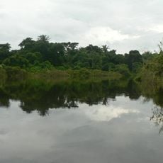
San Jorge Lake marks the eastern boundary and serves as a vital water source for farming activities across the region. Beyond its agricultural importance, the lake also supports small-scale fishing and provides a geographic landmark for local orientation.
The community of curious travelers
AroundUs brings together thousands of curated places, local tips, and hidden gems, enriched daily by 60,000 contributors worldwide.